Ruhengeri
Airport details
| Country | Rwanda |
| State | Northern Province |
| Region | HR |
| Municipality | Muhoza |
| Elevation | 6102ft (1860m) |
| Timezone | GMT +2 |
| Coordinates | -1.50000, 29.63333 |
| Magnetic var | |
| Type | land |
| Available since | X-Plane v10.40 |
| ICAO code | HRYU |
| IATA code | RHG |
| FAA code | n/a |
Communication
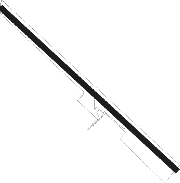
Runway info
| Runway 14 / 32 | ||
| length | 1481m (4859ft) | |
| bearing | 137° / 317° | |
| width | 35m (115ft) | |
| surface | grass | |
Nearby beacons
| code | identifier | dist | bearing | frequency |
|---|---|---|---|---|
| KS | KISORO NDB | 13.9 | 21° | 258 |
| GOM | GOMA VOR/DME | 25.9 | 246° | 116.50 |
| GS | GOMA NDB | 26.4 | 243° | 397 |
| KNM | KIGALI VOR/DME | 41.7 | 132° | 114.90 |
| LO | KIGALI NDB | 48.9 | 127° | 255 |
| BKV | BUKAVU NDB | 69.5 | 225° | 514 |
Disclaimer
The information on this website is not for real aviation. Use this data with the X-Plane flight simulator only! Data taken with kind consent from X-Plane 12 source code and data files. Content is subject to change without notice.