Dongola
Airport details
| Country | Sudan |
| State | Northern State |
| Region | HS |
| Airspace | Khartoum Ctr |
| Municipality | Dongola |
| Elevation | 771ft (235m) |
| Timezone | GMT +3 |
| Coordinates | 19.15262, 30.43022 |
| Magnetic var | |
| Type | land |
| Available since | X-Plane v11.51r1 |
| ICAO code | HSDN |
| IATA code | DOG |
| FAA code | n/a |
Communication
| Dongola Tower | 118.200 |
Runway info
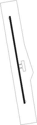
| Runway 17 / 35 | ||
| length | 3015m (9892ft) | |
| bearing | 174° / 354° | |
| width | 45m (148ft) | |
| surface | asphalt | |
Nearby beacons
| code | identifier | dist | bearing | frequency |
|---|---|---|---|---|
| DOG | DONGOLA VOR/DME | 1.8 | 354° | 112.30 |
Disclaimer
The information on this website is not for real aviation. Use this data with the X-Plane flight simulator only! Data taken with kind consent from X-Plane 12 source code and data files. Content is subject to change without notice.