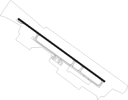
Airports for X-Plane offers a convenient way to explore airports and their related communication information for the X-Plane flight simulator. It only uses data from the X-Plane flight simulator itself, and is therefore more reliable than the data that comes from real aviation websites. You can search for airports by using the ICAO code, or browse for airports per country and state. The information displayed is categorized by airport details, runway information, airport communication, approach frequencies (ILS and Glidepath details), details of nearby beacons, SIDs, STARs and approach procedures.

military bus city passenger control tower road airplane landing area asphalt local government near aviation airfield traffic pattern traffic aircraft gravel consulate newark embassy air safety

Juba

Airport details

CountrySouth Sudan
StateCentral Equatoria
RegionHS
AirspaceKhartoum Ctr
MunicipalityJuba City
Elevation1513ft (461m)
TimezoneGMT +3
Coordinates4.87120, 31.59699
Magnetic var
Typeland
Available sinceX-Plane v10.40
ICAO codeHSSJ
IATA codeJUB
FAA coden/a

Communication

Juba Approach/Tower118.400

Runway info

Runway 13 / 31
 length3124m (10249ft)
 bearing130° / 310°
 width50m (164ft)
 surfaceasphalt
 displ threshold0m (0ft) / 8m (26ft)
 blast zone50m (164ft) / 50m (164ft)

Airport layout


Taxiway locations
Parking locations

Nearby beacons

codeidentifierdistbearingfrequency
JUBJUBA VOR/DME0.330°113.10

Disclaimer

The information on this website is not for real aviation. Use this data with the X-Plane flight simulator only! Data taken with kind consent from X-Plane 12 source code and data files. Content is subject to change without notice.