Lindi
Airport details
| Country | Tanzania |
| State | Lindi Region |
| Region | HT |
| Airspace | Dar-es-salaam Ctr |
| Municipality | Lindi Municipal |
| Elevation | 328ft (100m) |
| Timezone | GMT +3 |
| Coordinates | -9.85091, 39.75914 |
| Magnetic var | |
| Type | land |
| Available since | X-Plane v10.40 |
| ICAO code | HTLI |
| IATA code | LDI |
| FAA code | n/a |
Communication
| Lindi Tower | 128.800 |
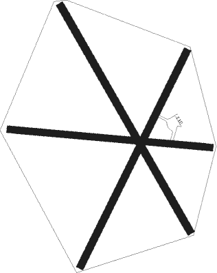
Runway info
Runway 09 / 27  | ||
| length | 1362m (4469ft) | |
| bearing | 99° / 279° | |
| width | 45m (148ft) | |
| surface | grass | |
| Runway 03 / 21 | ||
| length | 1607m (5272ft) | |
| bearing | 31° / 211° | |
| width | 50m (164ft) | |
| surface | grass | |
| Runway 15 / 33 | ||
| length | 1747m (5732ft) | |
| bearing | 154° / 334° | |
| width | 50m (164ft) | |
| surface | grass | |
Nearby beacons
| code | identifier | dist | bearing | frequency |
|---|---|---|---|---|
| MT | MTWARA NDB | 38.3 | 139° | 336 |
Disclaimer
The information on this website is not for real aviation. Use this data with the X-Plane flight simulator only! Data taken with kind consent from X-Plane 12 source code and data files. Content is subject to change without notice.