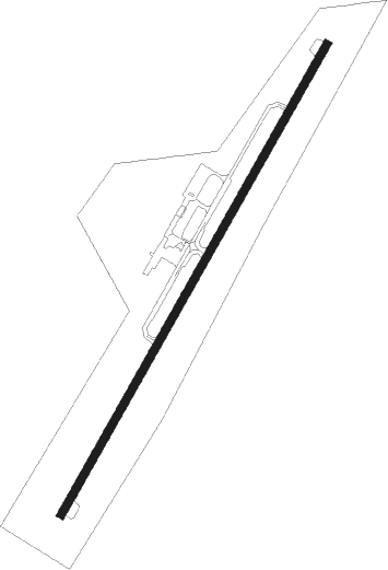
Washington Court House - Fayette Co
Airport details
| Country | United States of America |
| State | Ohio |
| Region | K5 |
| Airspace | Indianapolis Ctr |
| Municipality | Fayette County |
| Elevation | 979ft (298m) |
| Timezone | GMT -5 |
| Coordinates | 39.57040, -83.42052 |
| Magnetic var | |
| Type | land |
| Available since | X-Plane v10.40 |
| ICAO code | I23 |
| IATA code | n/a |
| FAA code | n/a |
Communication
| Fayette Co AWOS 3 | 118.775 |
| Fayette Co CTAF/UNICOM | 122.800 |
| Fayette Co COLUMBUS Approach/Departure | 132.300 |
| Fayette Co COLUMBUS Approach/Departure | 134.350 |
Nearby Points of Interest:
Edward Smith, Jr., Farm
-Judy Chapel
-Morris Sharp House
-Rawlings-Brownell House
-Barney Kelley House
-Fayette County Courthouse
-Jacob Light House
-Robinson-Pavey House
-William Burnett House
-Jackson Mound
-Samuel Smith House and Tannery
-Beam Farm Woodland Archaeological District
-South Salem Academy
-Jamestown Opera House
-W.C. Clemmons Mound
-First United Methodist Church
-Swetland House
-Doan House
-Rombach Place
-Clinton County Courthouse
-Levi Anderson House
-Harper Mausoleum and George W. Harper Memorial Entrance
-Mount Oval
-Keiter Mound
-Harris Dental Museum
Nearby beacons
| code | identifier | dist | bearing | frequency |
|---|---|---|---|---|
| CSS | COURT HOUSE (WASHINGTON) NDB | 2.2 | 43° | 414 |
| IL | AIRBO (WILMINGTON) NDB | 15.4 | 256° | 407 |
| BU | BOUTN (COLUMBUS) NDB | 17.9 | 41° | 230 |
| MXQ | MIDWEST (WILMINGTON) VOR/DME | 19.5 | 250° | 112.90 |
| XUB | YELLOW BUD (CIRCLEVILLE) VOR | 20.6 | 96° | 112.50 |
| DD | COBBS (COLUMBUS) NDB | 21.2 | 67° | 253 |
| HW | CUBLA (WILMINGTON) NDB | 24.8 | 245° | 299 |
| SGH | DME | 25.2 | 302° | 113.20 |
| XSF | SPRINGFIELD TACAN | 25.2 | 303° | 133.80 |
| LCK | RICKENBACKER (COLUMBUS) TACAN | 26.8 | 64° | 134.20 |
| OS | FULER (COLUMBUS) NDB | 31.9 | 24° | 515 |
| LC | PICKL (COLUMBUS) NDB | 32.8 | 62° | 376 |
| FFO | PATTERSON (DAYTON) TACAN | 32.9 | 291° | 115.20 |
| EOP | WAVERLY NDB | 33.1 | 130° | 385 |
| MW | ONIDA (MIDDLETOWN) NDB | 41.8 | 270° | 223 |
| AT | BRUNY (DAYTON) NDB | 45.3 | 287° | 315 |
| PWF | SPORTYS (BATAVIA) NDB | 47.3 | 238° | 245 |
| ROD | ROSEWOOD VORTAC | 51.7 | 319° | 117.50 |
| APE | APPLETON VORTAC | 51.8 | 55° | 116.70 |
| DQN | DAYTON VOR/DME | 52.4 | 295° | 114.50 |
| YRK | YORK VORTAC | 59.3 | 154° | 112.80 |
| FLM | FALMOUTH VOR/DME | 69.1 | 224° | 117 |
Instrument approach procedures
| runway | airway (heading) | route (dist, bearing) |
|---|---|---|
| RW23 | JOGER (185°) | JOGER AMNIO (6mi, 86°) 3000ft AMNIO (turn) 3000ft |
| RW23 | LIMPS (220°) | LIMPS AMNIO (7mi, 219°) 3000ft |
| RNAV | AMNIO 3000ft BIMGY (6mi, 221°) 2600ft I23 (5mi, 221°) 1016ft (5101mi, 115°) 1700ft AMNIO (5095mi, 296°) 3000ft AMNIO (turn) |
Disclaimer
The information on this website is not for real aviation. Use this data with the X-Plane flight simulator only! Data taken with kind consent from X-Plane 12 source code and data files. Content is subject to change without notice.