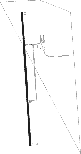
Mount Sterling - Mt Sterling Muni
Airport details
| Country | United States of America |
| State | Illinois |
| Region | K5 |
| Airspace | Kansas City Ctr |
| Municipality | Brown County |
| Elevation | 730ft (223m) |
| Timezone | GMT -6 |
| Coordinates | 39.98539, -90.80414 |
| Magnetic var | |
| Type | land |
| Available since | X-Plane v10.40 |
| ICAO code | I63 |
| IATA code | n/a |
| FAA code | n/a |
Communication
| Mt Sterling Muni CTAF/UNICOM | 122.800 |
Nearby Points of Interest:
John Roy Site
-Ebenezer Methodist Episcopal Chapel and Cemetery
-Exchange Bank
-Church of Christ
-F. D. Thomas House
-Phoenix Opera House Block
-Beardstown Grand Opera House
-New Philadelphia Town Site
-Naples Mound 8
-Pittsfield East School
-Pittsfield Historic District
-John Shastid House
-Zoe Theatre
-Fall Creek Stone Arch Bridge
-Lewis Round Barn
-Harvey Lee Ross House
-Joab Mershon House
-South Fulton Churchhouse
-Charles Emmor McCormick House
-William Franklin and Rebecca Durell House
-Patterson Hamer House
-Lucinda Hunter House
-Elsworth Snowden House
-Edith Chipman House
-William Hoopes House
Nearby beacons
| code | identifier | dist | bearing | frequency |
|---|---|---|---|---|
| UI | QUINCY NDB | 21.5 | 258° | 293 |
| UIN | QUINCY VORTAC | 23.3 | 254° | 113.60 |
| IJX | DME | 28.9 | 110° | 108.60 |
| JZY | MACOMB NDB | 33.8 | 25° | 251 |
| EOK | KEOKUK NDB | 40.7 | 307° | 366 |
| BR | BURNS (BURLINGTON) NDB | 42.7 | 334° | 390 |
| BRL | BURLINGTON VOR/DME | 44.6 | 351° | 111.40 |
| GBG | DME | 59.6 | 21° | 109.80 |
Instrument approach procedures
| runway | airway (heading) | route (dist, bearing) |
|---|---|---|
| RW18 | EBGIF (211°) | EBGIF 2700ft HAGDO (5mi, 271°) 2700ft |
| RW18 | FANOS (151°) | FANOS 2700ft HAGDO (5mi, 91°) 2700ft |
| RW18 | HAGDO (181°) | HAGDO 2700ft |
| RNAV | HAGDO 2700ft IBOZI (6mi, 181°) 2300ft GACOP (3mi, 181°) 1280ft I63 (2mi, 181°) 774ft BEWOH (11mi, 181°) 2700ft BEWOH (turn) | |
| RW36 | BEWOH (1°) | BEWOH 2700ft |
| RW36 | DAYYE (331°) | DAYYE 2700ft BEWOH (5mi, 271°) 2700ft |
| RW36 | EBMEW (31°) | EBMEW 2700ft BEWOH (5mi, 91°) 2700ft |
| RNAV | BEWOH 2700ft CAGUN (6mi, 1°) 2300ft HABOV (3mi, 1°) 1300ft I63 (2mi, 1°) 755ft HAGDO (11mi, 1°) 2700ft HAGDO (turn) |
Disclaimer
The information on this website is not for real aviation. Use this data with the X-Plane flight simulator only! Data taken with kind consent from X-Plane 12 source code and data files. Content is subject to change without notice.
