Airports for X-Plane offers a convenient way to explore airports and their related communication information for the X-Plane flight simulator. It only uses data from the X-Plane flight simulator itself, and is therefore more reliable than the data that comes from real aviation websites. You can search for airports by using the ICAO code, or browse for airports per country and state. The information displayed is categorized by airport details, runway information, airport communication, approach frequencies (ILS and Glidepath details), details of nearby beacons, SIDs, STARs and approach procedures.

city warfare stopover downtown automated airport weather station arrival taxi metro traffic airdrome port hospital corporation rail air traffic control runway lighting near military train grass

Blakesburg - Antique Airfield

Airport details

CountryUnited States of America
StateIowa
Region
AirspaceChicago Ctr
MunicipalityWapello County
Elevation890ft (271m)
TimezoneGMT -6
Coordinates40.98199, -92.58618
Magnetic var
Typeland
Available sinceX-Plane v10.32
ICAO codeIA27
IATA coden/a
FAA codeIA27

Communication

No airport communication available for IA27
Nearby Points of Interest:
Jefferson Street Viaduct
-
First National Bank
-
Ottumwa Young Women's Christian Association
-
Benson Building
-
Ottumwa City Hall
-
Wapello County Courthouse
-
Benson Block
-
Greater Second Street Historic District
-
J.W. Garner Building
-
Jay Funeral Home
-
Ottumwa Public Library
-
Foster/Bell House
-
Fifth Street Bluff Historic District
-
Court Hill Historic District
-
Ottumwa Cemetery
-
Vogel Place Historic District
-
North Fellows Historic District
-
Historic Railroad District
-
St. Joseph Hospital Historic District
-
Monroe County Courthouse
-
Arvine and Elizabeth W. White House
-
Elbert-Bates House
-
Dahlonega School No. 1
-
West Grove United Methodist Church
-
James B. Weaver House

Runway info

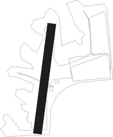
Runway 18 / 36
 length648m (2126ft)
 bearing196° / 16°
 width53m (175ft)
 surfacegrass

Airport layout


Parking locations

Nearby beacons

codeidentifierdistbearingfrequency
OTMOTTUMWA VOR/DME12.180°111.60
BEXBLOOMFIELD NDB15.8147°269
PEAPELLA NDB30.1320°257
IRKKIRKSVILLE VORTAC50.8180°114.60
TNUNEWTON VOR/DME53.6327°112.50
IOWIOWA CITY VOR/DME54.461°116.20
CIDCEDAR RAPIDS VOR/DME65.241°114.10

Disclaimer

The information on this website is not for real aviation. Use this data with the X-Plane flight simulator only! Data taken with kind consent from X-Plane 12 source code and data files. Content is subject to change without notice.