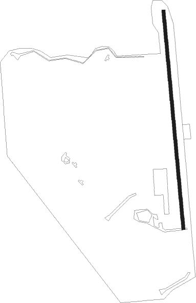
Clark Fork - Tuka
Airport details
| Country | United States of America |
| State | Idaho |
| Region | |
| Airspace | Seattle Ctr |
| Municipality | Bonner County |
| Elevation | 2084ft (635m) |
| Timezone | GMT -8 |
| Coordinates | 48.11013, -116.13705 |
| Magnetic var | |
| Type | land |
| Available since | X-Plane v10.40 |
| ICAO code | ID32 |
| IATA code | n/a |
| FAA code | ID32 |
Communication
| Tuka AWOS-3 (SZT) | 135.425 |
Nearby Points of Interest:
Sandpoint Historic District
-Amanda Nesbitt House
-Dover Church
-Troy Jail

Nearby beacons
| code | identifier | dist | bearing | frequency |
|---|---|---|---|---|
| SZT | SANDPOE (SANDPOINT) NDB | 20.2 | 293° | 264 |
| COE | COEUR D'ALENE VOR/DME | 34.1 | 244° | 108.80 |
| MLP | MULLAN PASS VOR/DME | 43.9 | 143° | 117.80 |
Disclaimer
The information on this website is not for real aviation. Use this data with the X-Plane flight simulator only! Data taken with kind consent from X-Plane 12 source code and data files. Content is subject to change without notice.