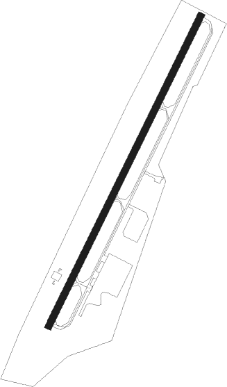
Lake Pleasant - Piseco
Airport details
| Country | United States of America |
| State | New York |
| Region | K6 |
| Airspace | Boston Ctr |
| Municipality | Hamilton County |
| Elevation | 1703ft (519m) |
| Timezone | GMT -5 |
| Coordinates | 43.44981, -74.51688 |
| Magnetic var | |
| Type | land |
| Available since | X-Plane v10.40 |
| ICAO code | K09 |
| IATA code | n/a |
| FAA code | n/a |
Communication
| PISECO CTAF/UNICOM | 122.800 |
Nearby Points of Interest:
Hamilton County Courthouse Complex
-Pillsbury Mountain Forest Fire Observation Station
-Kane Mountain Fire Observation Station
-Wakely Mountain Fire Observation Station
-Augustus Frisbie House
-Salisbury Center Grange Hall
-Barker General Store
-Echo Camp
-Dolge Company Factory Complex
-Norway Baptist Church
-Hadley Mountain Fire Observation Station
-The Hedges
-Church of the Transfiguration
-Gloversville Free Library
-Methodist Episcopal Church
-Thendara
-Yale-Cady Octagon House and Yale Lock Factory Site
-New York Central Railroad Adirondack Division Historic District
-East Main Street Historic District
-Masonic Temple — Newport Lodge No. 445 F. & A.M.
-Newport Stone Arch Bridge
-Russia Corners Historic District
-United States Post Office
-Fulton County Courthouse
-Otter Lake Community Church
Nearby beacons
| code | identifier | dist | bearing | frequency |
|---|---|---|---|---|
| JJH | JOHNSTOWN NDB | 28.2 | 158° | 523 |
| UCA | UTICA TACAN | 38 | 237° | 111.20 |
| GF | GANSE (GLENS FALLS) NDB | 41.4 | 102° | 209 |
| HEU | HUNTER (SCHENECTADY) NDB | 43.9 | 136° | 356 |
| AL | HAWKY (ALBANY) NDB | 49 | 132° | 219 |
| ALB | ALBANY VORTAC | 52.5 | 135° | 115.30 |
| SLK | LAKE DME | 57.7 | 18° | 109.20 |
| RKA | ROCKDALE VOR/DME | 67 | 216° | 112.60 |
Instrument approach procedures
| runway | airway (heading) | route (dist, bearing) |
|---|---|---|
| RW04 | GACKE (74°) | GACKE WULET (14mi, 97°) 4100ft |
| RW04 | MALLO (358°) | MALLO WULET (10mi, 308°) 4100ft |
| RW04 | WULET (39°) | WULET 5000ft WULET (turn) 4100ft |
| RNAV | WULET 4100ft ZUGRA (6mi, 39°) 3600ft K09 (6mi, 39°) 1744ft (4734mi, 120°) 3500ft GASSY (4710mi, 300°) 7000ft GASSY (turn) |
Disclaimer
The information on this website is not for real aviation. Use this data with the X-Plane flight simulator only! Data taken with kind consent from X-Plane 12 source code and data files. Content is subject to change without notice.
