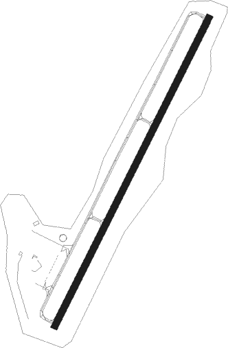
Prestonsburg - Big Sandy Rgnl
Airport details
| Country | United States of America |
| State | Kentucky |
| Region | K5 |
| Airspace | Indianapolis Ctr |
| Municipality | Martin County |
| Elevation | 1221ft (372m) |
| Timezone | GMT -5 |
| Coordinates | 37.74910, -82.64186 |
| Magnetic var | |
| Type | land |
| Available since | X-Plane v10.40 |
| ICAO code | K22 |
| IATA code | n/a |
| FAA code | SJS |
Communication
| Big Sandy Rgnl AWOS 3 | 120.175 |
| Big Sandy Rgnl CTAF/UNICOM | 123.050 |
| Big Sandy Rgnl HUNTINGTON Approach/Departure | 119.750 |
Nearby Points of Interest:
Foster Hardware
-Mine No. 5 Store
-Samuel May House
-Methodist Episcopal Church, South (Prestonsburg, Kentucky)
-Paintsville City Hall
-Francis M. Stafford House
-First National Bank Building
-H.B. Rice Insurance Building
-Paintsville Public Library Building
-First United Methodist Church
-Mayo Mansion
-Martin Himler House
-David McKenzie Log Cabin
-Chesapeake and Ohio Passenger Depot
-Pikeville College Academy Building
-Coal House
-Williamson Historic District
-Salyersville National Bank
-Atkins–Carter House
-Louisa United Methodist Church
-Fred M. Vinson Birthplace
-Louisa Commercial Historic District
-Big Sandy Milling Company
-Captain Freese House
Nearby beacons
| code | identifier | dist | bearing | frequency |
|---|---|---|---|---|
| ECB | DME | 27.6 | 327° | 110.40 |
| AZQ | DME | 36.5 | 240° | 111.20 |
| HVQ | CHARLESTON VOR/DME | 54.7 | 55° | 117.40 |
| YRK | YORK VORTAC | 56 | 339° | 112.80 |
| GZG | GLADE SPRING (BLACKFORD) VOR/DME | 61.6 | 149° | 110.20 |
Disclaimer
The information on this website is not for real aviation. Use this data with the X-Plane flight simulator only! Data taken with kind consent from X-Plane 12 source code and data files. Content is subject to change without notice.