Carrollton - Carrollton Memorial
Airport details
| Country | United States of America |
| State | Missouri |
| Region | |
| Airspace | Kansas City Ctr |
| Municipality | Carroll County |
| Elevation | 667ft (203m) |
| Timezone | GMT -6 |
| Coordinates | 39.31574, -93.50652 |
| Magnetic var | |
| Type | land |
| Available since | X-Plane v10.40 |
| ICAO code | K26 |
| IATA code | n/a |
| FAA code | K26 |
Communication
Nearby Points of Interest:
Old Fort
-Chicago and Alton Depot
-Saline County Courthouse
-Buckner House
-Old Neighborhoods Historic District
-Waddell House
-Cumberland Presbyterian Church
-Lafayette County Courthouse
-Fitzgibbon Hospital
-Baity Hall
-Theodore Gosewisch House
-Ray County Courthouse
-Watkins House
-Ray County Poor Farm
-Chariton County Jail and Sheriff's Residence
-First Presbyterian Church
-Redding-Hill House
-Odessa Ice Cream Company Building
-Grace Episcopal Church
-Chillicothe Commercial Historic District
-Courthouse Square Historic District
-William B. Sappington House
-J. Huston Tavern
-Glasgow Presbyterian Church
-Glasgow Public Library
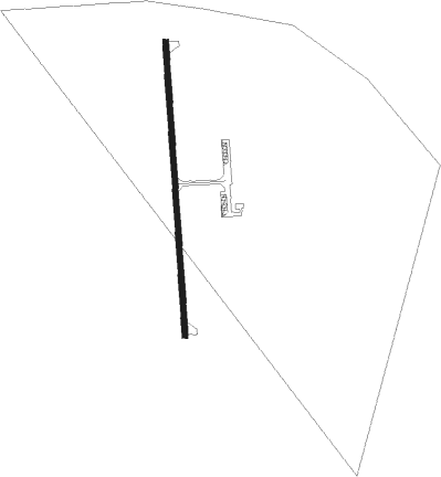
Runway info
| Runway 18 / 36 | ||
| length | 793m (2602ft) | |
| bearing | 181° / 1° | |
| width | 15m (50ft) | |
| surface | asphalt | |
Nearby beacons
| code | identifier | dist | bearing | frequency |
|---|---|---|---|---|
| BQS | BRAYMER VOR/DME | 25.4 | 310° | 115.35 |
| ANX | NAPOLEON VORTAC | 31.8 | 251° | 114 |
| SZL | WHITEMAN (KNOB NOSTER) TACAN | 34.8 | 184° | 109.80 |
| IRK | KIRKSVILLE VORTAC | 64.8 | 48° | 114.60 |
Disclaimer
The information on this website is not for real aviation. Use this data with the X-Plane flight simulator only! Data taken with kind consent from X-Plane 12 source code and data files. Content is subject to change without notice.