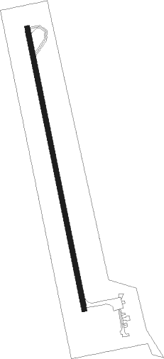
Unionville - Unionville Muni
Airport details
| Country | United States of America |
| State | Missouri |
| Region | |
| Airspace | Kansas City Ctr |
| Municipality | Putnam County |
| Elevation | 1044ft (318m) |
| Timezone | GMT -6 |
| Coordinates | 40.54404, -93.02614 |
| Magnetic var | |
| Type | land |
| Available since | X-Plane v10.40 |
| ICAO code | K43 |
| IATA code | n/a |
| FAA code | K43 |
Communication
| Unionville Muni AWOS | 123.775 |
| Unionville Muni CTAF | 122.900 |
Nearby Points of Interest:
Unionville Square Historic District
-Chicago, Burlington and Quincy Railroad Depot
-Porter Hall
-Appanoose County Courthouse
-Courthouse Square Historic District
-W.H. Tedford House
-Russell Octagon House
-West Grove United Methodist Church
-Cabins Historic District
-Orie J. Smith Black and White Stock Farm Historic District
-Capt. Thomas C. Harris House
-Kirksville Courthouse Square Historic District
-Adair County Courthouse
-Journal Printing Company Building
-Masonic Temple
-Grim Building
-Dr. E. Sanborn Smith House
-Downing Railroad Depot
-Elbert-Bates House
-Davis County Courthouse
-William Findley House
Nearby beacons
| code | identifier | dist | bearing | frequency |
|---|---|---|---|---|
| BEX | BLOOMFIELD NDB | 29.7 | 71° | 269 |
| IRK | KIRKSVILLE VORTAC | 31.6 | 133° | 114.60 |
| LMN | LAMONI VOR/DME | 43 | 273° | 116.70 |
| OTM | OTTUMWA VOR/DME | 43.1 | 55° | 111.60 |
| PEA | PELLA NDB | 51.8 | 5° | 257 |
| MCM | DME | 59 | 149° | 112.90 |
| DSM | DES MOINES VORTAC | 60.6 | 325° | 117.50 |
| BQS | BRAYMER VOR/DME | 67.3 | 223° | 115.35 |
Disclaimer
The information on this website is not for real aviation. Use this data with the X-Plane flight simulator only! Data taken with kind consent from X-Plane 12 source code and data files. Content is subject to change without notice.
