Beaver - Beaver Muni
Airport details
| Country | United States of America |
| State | Oklahoma |
| Region | K4 |
| Airspace | Kansas City Ctr |
| Municipality | Beaver County |
| Elevation | 2491ft (759m) |
| Timezone | GMT -6 |
| Coordinates | 36.79795, -100.52692 |
| Magnetic var | |
| Type | land |
| Available since | X-Plane v10.40 |
| ICAO code | K44 |
| IATA code | n/a |
| FAA code | n/a |
Communication
| BEAVER MUNI CTAF | 122.900 |
Nearby Points of Interest:
Dalton Gang Hideout and Museum
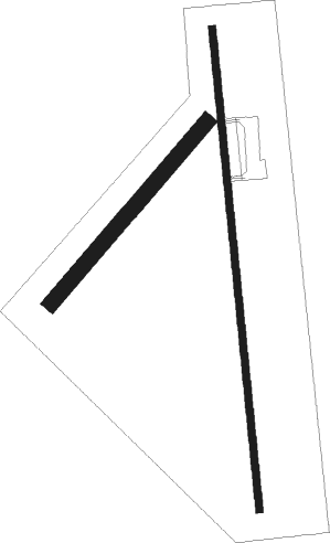
Runway info
Runway 17 / 35  | ||
| length | 1237m (4058ft) | |
| bearing | 179° / 359° | |
| width | 18m (60ft) | |
| surface | asphalt | |
| Runway 04 / 22 | ||
| length | 609m (1998ft) | |
| bearing | 51° / 231° | |
| width | 40m (130ft) | |
| surface | grass | |
Nearby beacons
| code | identifier | dist | bearing | frequency |
|---|---|---|---|---|
| LB | PANCK (LIBERAL) NDB | 22.9 | 291° | 383 |
| PYX | PERRYTON NDB | 25.4 | 210° | 266 |
| LBL | LIBERAL VORTAC | 25.9 | 299° | 112.30 |
| MMB | MITBEE (GAGE) VORTAC | 41.4 | 125° | 115.60 |
| HQG | HUGOTON NDB | 46.2 | 293° | 365 |
| GUY | GUYMON NDB | 47.3 | 265° | 275 |
| ULS | ULYSSES NDB | 62.6 | 314° | 395 |
| BGD | BORGER VORTAC | 72.4 | 221° | 108.60 |
Disclaimer
The information on this website is not for real aviation. Use this data with the X-Plane flight simulator only! Data taken with kind consent from X-Plane 12 source code and data files. Content is subject to change without notice.