Macon - Macon-fower Mem
Airport details
| Country | United States of America |
| State | Missouri |
| Region | K3 |
| Airspace | Kansas City Ctr |
| Municipality | Macon |
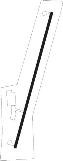
| Elevation | 874ft (266m) |
| Timezone | GMT -6 |
| Coordinates | 39.72980, -92.45672 |
| Magnetic var | |
| Type | land |
| Available since | X-Plane v10.40 |
| ICAO code | K89 |
| IATA code | n/a |
| FAA code | K89 |
Communication
| Macon-Fower Mem CTAF/UNICOM | 122.800 |
Nearby Points of Interest:
Blees Military Academy
-Macon County Courthouse and Annex
-Wardell House
-Moberly Junior High School
-Burkholder-O'Keefe House
-Benjamin House
-Fabrishous and Sarah A. Thomas House
-Salisbury Square Historic District
-Paris Male Academy
-Dr. E. Sanborn Smith House
-Redding-Hill House
-First Presbyterian Church
-Journal Printing Company Building
-Grim Building
-Adair County Courthouse
-Masonic Temple
-Kirksville Courthouse Square Historic District
-Chariton County Jail and Sheriff's Residence
-Capt. Thomas C. Harris House
-Orie J. Smith Black and White Stock Farm Historic District
-Cabins Historic District
Nearby beacons
| code | identifier | dist | bearing | frequency |
|---|---|---|---|---|
| MCM | DME | 4.6 | 199° | 112.90 |
| IRK | KIRKSVILLE VORTAC | 25.1 | 342° | 114.60 |
| HLV | HALLSVILLE VORTAC | 40 | 152° | 114.20 |
| COU | COLUMBIA VOR/DME | 56.2 | 165° | 110.20 |
Instrument approach procedures
| runway | airway (heading) | route (dist, bearing) |
|---|---|---|
| RW02 | GUFEY (25°) | GUFEY 3000ft |
| RW02 | HLV (332°) | HLV GUFEY (34mi, 321°) 3000ft |
| RW02 | YOJCO (20°) | YOJCO GUFEY (27mi, 18°) 3000ft |
| RNAV | GUFEY 3000ft YOPPS (3mi, 25°) 2500ft JUVRI (3mi, 25°) 1460ft K89 (2mi, 25°) 916ft (5519mi, 113°) 1165ft WITOG (5515mi, 293°) 2700ft WITOG (turn) | |
| RW20 | IRK (162°) | IRK WITOG (19mi, 144°) 2700ft |
| RW20 | WITOG (205°) | WITOG 2700ft |
| RNAV | WITOG 2700ft RAWXA (3mi, 205°) 2500ft ZAXUV (3mi, 205°) 1460ft K89 (2mi, 205°) 892ft (5519mi, 113°) 1278ft GUFEY (5522mi, 293°) 3000ft GUFEY (turn) |
Disclaimer
The information on this website is not for real aviation. Use this data with the X-Plane flight simulator only! Data taken with kind consent from X-Plane 12 source code and data files. Content is subject to change without notice.