Alturas
Airport details
| Country | United States of America |
| State | California |
| Region | K2 |
| Airspace | Seattle Ctr |
| Municipality | CAL Fire Lassen Modoc Plumas Unit |
| Elevation | 4374ft (1333m) |
| Timezone | GMT -8 |
| Coordinates | 41.48558, -120.56380 |
| Magnetic var | |
| Type | land |
| Available since | X-Plane v10.40 |
| ICAO code | KAAT |
| IATA code | n/a |
| FAA code | AAT |
Communication
| Alturas ASOS | 124.175 |
| Alturas CTAF/UNICOM | 122.800 |
Nearby Points of Interest:
NCO Railway Depot
-Jess Valley Schoolhouse
-Fandango Pass
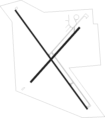
Runway info
Runway 13 / 31  | ||
| length | 1289m (4229ft) | |
| bearing | 141° / 321° | |
| width | 15m (49ft) | |
| surface | asphalt | |
| blast zone | 23m (75ft) / 0m (0ft) | |
| Runway 3 / 21 | ||
| length | 764m (2507ft) | |
| bearing | 54° / 234° | |
| width | 18m (59ft) | |
| surface | asphalt | |
| blast zone | 131m (430ft) / 159m (522ft) | |
Departure and arrival routes
| Transition altitude | 18000ft |
| Transition level | 18000ft |
| SID end points | distance | outbound heading | |
|---|---|---|---|
| RW03 | |||
| CHOIR3 | 16mi | 83° | |
| BACHS2 | 24mi | 243° | |
| RW13 | |||
| CHOIR3 | 16mi | 83° | |
| BACHS2 | 24mi | 243° | |
| RW21 | |||
| BACHS2 | 24mi | 243° | |
| RW31 | |||
| BACHS2 | 24mi | 243° | |
Instrument approach procedures
| runway | airway (heading) | route (dist, bearing) |
|---|---|---|
| RW31 | BACHS (63°) | BACHS NONIY (20mi, 91°) 9300ft LUTIY (7mi, 65°) 7200ft |
| RNAV | LUTIY 7200ft TEFAN (6mi, 321°) 6300ft KAAT (6mi, 322°) 4418ft (6750mi, 109°) 5400ft BACHS (6773mi, 289°) 9000ft BACHS (turn) |
Disclaimer
The information on this website is not for real aviation. Use this data with the X-Plane flight simulator only! Data taken with kind consent from X-Plane 12 source code and data files. Content is subject to change without notice.