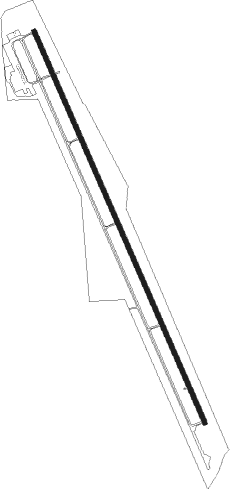
Buena Vista - Central Colorado Regional Airport
Airport details
| Country | United States of America |
| State | Colorado |
| Region | K2 |
| Airspace | Denver Ctr |
| Municipality | Chaffee County |
| Elevation | 7938ft (2420m) |
| Timezone | GMT -7 |
| Coordinates | 38.81419, -106.12061 |
| Magnetic var | |
| Type | land |
| Available since | X-Plane v10.40 |
| ICAO code | KAEJ |
| IATA code | n/a |
| FAA code | AEJ |
Communication
| Central Colorado Regional Airport AWOS | 132.925 |
| Central Colorado Regional Airport CTAF | 122.800 |
| Central Colorado Regional Airport Fake Tower | 136.000 |
Nearby Points of Interest:
Bridge over Arkansas River
-Grace Church
-Jacobs Building
-J. M. Bonney House
-St. Elmo
-Morley Bridge
-Alpine Tunnel
-Heister House
-Bode-Stewart House
-Alexander House
-Manhattan Hotel
-Poncha Springs Schoolhouse
-Twin Lakes District
-Derry Mining Site Camp
-South Park Community Church
-Park County Courthouse and Jail
-Leadville Historic District
-Mineral Belt National Recreation Trail
-Dexter Cabin
-Leadville National Fish Hatchery
-Independence
Nearby beacons
| code | identifier | dist | bearing | frequency |
|---|---|---|---|---|
| HBU | BLUE MESA (GUNNISON) VOR/DME | 48.2 | 248° | 114.90 |
| DBL | RED TABLE (EAGLE) VOR/DME | 52 | 309° | 113 |
| SXW | SNOW (EAGLE) VOR/DME | 63.5 | 313° | 109.20 |
Instrument approach procedures
| runway | airway (heading) | route (dist, bearing) |
|---|---|---|
| RW33 | KANON (343°) | KANON FIKEX (6mi, 345°) 14300ft BUBYO (6mi, 345°) 12600ft |
| RNAV | BUBYO 12600ft AKNAC (8mi, 347°) 10300ft ROBVY (5mi, 336°) 8420ft KANON (24mi, 163°) 16000ft KANON (turn) |
Disclaimer
The information on this website is not for real aviation. Use this data with the X-Plane flight simulator only! Data taken with kind consent from X-Plane 12 source code and data files. Content is subject to change without notice.
