Colorado Springs - Usaf Academy Airfield
Airport details
| Country | United States of America |
| State | Colorado |
| Region | K2 |
| Airspace | Denver Ctr |
| Municipality | El Paso County |
| Elevation | 6569ft (2002m) |
| Timezone | GMT -7 |
| Coordinates | 38.97339, -104.82003 |
| Magnetic var | |
| Type | land |
| Available since | X-Plane v10.40 |
| ICAO code | KAFF |
| IATA code | AFF |
| FAA code | AFF |
Communication
| USAF Academy Airfield ATIS | 128.525 |
| USAF Academy Airfield Academy Ground | 118.125 |
| USAF Academy Airfield Academy Tower | 124.150 |
| USAF Academy Airfield Colorado Springs Approach | 124.000 |
| USAF Academy Airfield Colorado Springs Departure | 124.000 |
Nearby Points of Interest:
Cottonwood Creek Bridge
-Taylor Memorial Chapel
-Black Forest School
-Garden of the Gods
-Fort Collins Municipal Railway No. 22
-Ida M. Rice House
-Edgeplain
-Inez Johnson Lewis School
-Montgomery Hall, Colorado College
-Bemis Hall
-Lennox House
-Frederick H. Cossitt Memorial Hall
-Emmanuel Presbyterian Church
-Gwynne–Love House
-Burgess House
-Stockbridge House
-Hagerman Mansion
-Bridge over Fountain Creek
-Judson Moss Bemis House
-Keithley Log Cabin Development District
-Briarhurst
-United States Post Office-Manitou Springs Main
-Second Midland School
-DeGraff Building
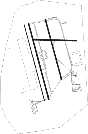
Runway info
Runway 16R / 34L  | ||
| length | 1369m (4491ft) | |
| bearing | 167° / 347° | |
| width | 12m (40ft) | |
| surface | asphalt | |
| blast zone | 84m (276ft) / 76m (249ft) | |
| Runway 16C / 34C | ||
| length | 1368m (4488ft) | |
| bearing | 167° / 347° | |
| width | 23m (75ft) | |
| surface | asphalt | |
| blast zone | 78m (256ft) / 87m (285ft) | |
| Runway 16L / 34R | ||
| length | 1076m (3530ft) | |
| bearing | 167° / 347° | |
| width | 23m (75ft) | |
| surface | asphalt | |
| blast zone | 64m (210ft) / 62m (203ft) | |
| Runway 8 / 26 | ||
| length | 736m (2415ft) | |
| bearing | 95° / 275° | |
| width | 23m (75ft) | |
| surface | asphalt | |
Nearby beacons
| code | identifier | dist | bearing | frequency |
|---|---|---|---|---|
| BRK | BLACK FOREST VOR/DME | 8.8 | 99° | 112.50 |
| CO | PETEY (COLORADO SPRINGS) NDB | 17.4 | 160° | 407 |
| FCS | BUTTS (FORT CARSON) VOR/DME | 17.8 | 168° | 108.80 |
| IHS | IRONHORSE (FORT CARSON) NDB | 17.9 | 167° | 335 |
| FQF | FALCON (DENVER) VORTAC | 44 | 16° | 116.30 |
| BKF | BUCKLEY (AURORA) TACAN | 44.1 | 5° | 109.60 |
| PUB | PUEBLO VORTAC | 44.7 | 150° | 116.70 |
| TF | ARUBA (PUEBLO) NDB | 46.4 | 146° | 373 |
| DEN | DENVER VOR/DME | 50.9 | 11° | 117.90 |
| DVV | MILE HIGH (DENVER) VORTAC | 56 | 12° | 114.70 |
| BJC | JEFFCO (DENVER) VOR/DME | 58.3 | 341° | 115.40 |
Disclaimer
The information on this website is not for real aviation. Use this data with the X-Plane flight simulator only! Data taken with kind consent from X-Plane 12 source code and data files. Content is subject to change without notice.