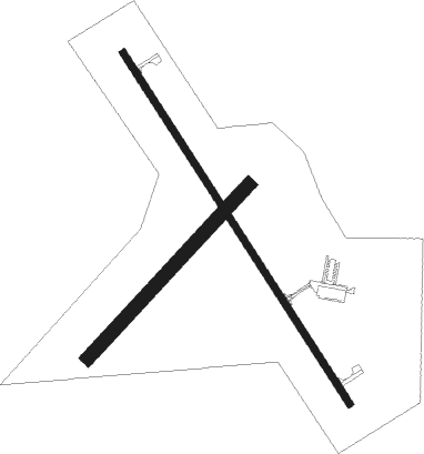
Nebraska City - Nebraska City Muni
Airport details
| Country | United States of America |
| State | Nebraska |
| Region | K3 |
| Airspace | Minneapolis Ctr |
| Municipality | Otoe County |
| Elevation | 1165ft (355m) |
| Timezone | GMT -6 |
| Coordinates | 40.60653, -95.86667 |
| Magnetic var | |
| Type | land |
| Available since | X-Plane v10.40 |
| ICAO code | KAFK |
| IATA code | n/a |
| FAA code | AFK |
Communication
| Nebraska City Muni AWOS 3 | 128.325 |
| Nebraska City Muni CTAF/UNICOM | 122.700 |
| Nebraska City Muni OMAHA Approach/Departure | 120.100 |
Nearby Points of Interest:
George F. Lee Octagon Houses
-Camp Creek School, Otoe County District No. 54
-Morton-James Public Library
-U.S. Post Office
-Grand Army of the Republic Memorial Hall
-Otoe County Courthouse
-Hamburg Public Library
-Jason and Elizabeth Baylor Rector House
-Auburn United States Post Office
-Fremont County Courthouse
-Nemaha County Courthouse
-Chautauqua Pavilion
-John W. Bennett House
-Brownville Bridge
-Hunter School
-Naomi Institute
-Todd House
-Johnson County Courthouse
-Tecumseh Opera House
-Gottfried Gustav Pitz Barn
-Rankin Hall
-The Elms
-Plattsmouth Main Street Historic District
-Cass County Courthouse
-John Holman House

Nearby beacons
| code | identifier | dist | bearing | frequency |
|---|---|---|---|---|
| AFK | NEBRASKA CITY NDB | 0.2 | 102° | 347 |
| PMV | PLATTSMOUTH NDB | 20.3 | 352° | 329 |
| PWE | PAWNEE CITY VORTAC | 28.9 | 220° | 112.40 |
| OFF | OFFUTT (OMAHA) TACAN | 30.7 | 356° | 111.70 |
| OVR | OMAHA VORTAC | 34.1 | 13° | 116.30 |
| LN | POTTS (LINCOLN) NDB | 41.6 | 279° | 385 |
| LNK | LINCOLN VORTAC | 44.1 | 290° | 116.10 |
| BIE | BEATRICE VOR | 44.5 | 251° | 110.60 |
| RBA | DME | 49.7 | 150° | 108.20 |
| AHQ | WAHOO NDB | 50.4 | 311° | 400 |
| STJ | SAINT JOSEPH (ST JOSEPH) VORTAC | 58 | 124° | 115.50 |
| AZN | AMAZON (SAINT JOSEPH) NDB | 61.7 | 127° | 233 |
| SCB | SCRIBNER VOR/DME | 69.1 | 323° | 111 |
| ST | TARIO (ST JOSEPH) NDB | 71.1 | 134° | 260 |
Instrument approach procedures
| runway | airway (heading) | route (dist, bearing) |
|---|---|---|
| RW15 | JUPMO (145°) | JUPMO 3000ft |
| RW15 | OVR (193°) | OVR KALDE (22mi, 204°) 4000ft JUPMO (5mi, 248°) 3000ft |
| RW15 | PWE (40°) | PWE JADIB (33mi, 13°) 4000ft JUPMO (5mi, 67°) 3000ft |
| RW15 | VIKKI (259°) | VIKKI KALDE (23mi, 284°) 4000ft JUPMO (5mi, 248°) 3000ft |
| RNAV | JUPMO 3000ft IGUSE (6mi, 144°) 2800ft KAFK (5mi, 145°) 1209ft OJEKE (12mi, 144°) 3000ft OJEKE (turn) | |
| RW33 | OJEKE (324°) | OJEKE 3000ft |
| RW33 | PWE (40°) | PWE IZANI (20mi, 62°) 4000ft OJEKE (5mi, 67°) 3000ft |
| RW33 | TRAIG (289°) | TRAIG AVATY (21mi, 282°) 4000ft OJEKE (5mi, 248°) 3000ft |
| RNAV | OJEKE 3000ft VIPRY (6mi, 325°) 2800ft KAFK (5mi, 324°) 1210ft JUPMO (12mi, 325°) 3000ft JUPMO (turn) |
Disclaimer
The information on this website is not for real aviation. Use this data with the X-Plane flight simulator only! Data taken with kind consent from X-Plane 12 source code and data files. Content is subject to change without notice.