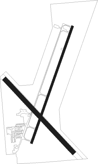
Wahoo - Wahoo Municipal
Airport details
| Country | United States of America |
| State | Nebraska |
| Region | K3 |
| Airspace | Minneapolis Ctr |
| Municipality | Wahoo |
| Elevation | 1223ft (373m) |
| Timezone | GMT -5 |
| Coordinates | 41.24061, -96.59456 |
| Magnetic var | |
| Type | land |
| Available since | X-Plane v10.40 |
| ICAO code | KAHQ |
| IATA code | n/a |
| FAA code | AHQ |
Communication
| Wahoo Municipal AWOS-3P | 125.975 |
| Wahoo Municipal CTAF/UNICOM | 122.700 |
| Wahoo Municipal OMAHA ApproachPROACH | 120.100 |
| Wahoo Municipal OMAHA DepartureARTURE | 120.100 |
Nearby Points of Interest:
Saunders County Courthouse
-George and Nancy Turner House
-Osterman and Tremaine Building
-Dodge County Courthouse
-Fremont Historic Commercial District
-Love-Larson Opera House
-Old Fremont Post Office
-Samuel Bullock House
-J. D. McDonald House
-Fremont Municipal Auditorium
-R. B. Schneider House
-Nye House
-Rad Plzen cis. 9 Z.C.B.J.
-Christopher Knoell Farmstead
-North Bend Carnegie Library
-Upper Oak Creek Descent Ruts of the Woodbury Cutoff, Ox Bow Trail of the California Road
-Ackerhurst Dairy Barn
-Boys Town
-Fremont, Elkhorn and Missouri Valley Railroad Depot
-St. Mary of the Assumption Catholic Church, School and Grottoes
-Hooper Historic District
-Lancaster Block
-John Janecek House
-Colfax County Courthouse
-Old Main, Nebraska Wesleyan University

Nearby beacons
| code | identifier | dist | bearing | frequency |
|---|---|---|---|---|
| AHQ | WAHOO NDB | 0.1 | 249° | 400 |
| LNK | LINCOLN VORTAC | 20.1 | 205° | 116.10 |
| SCB | SCRIBNER VOR/DME | 21.9 | 355° | 111 |
| LN | POTTS (LINCOLN) NDB | 30.5 | 199° | 385 |
| OFF | OFFUTT (OMAHA) TACAN | 32.2 | 100° | 111.70 |
| PMV | PLATTSMOUTH NDB | 35.6 | 114° | 329 |
| OLU | COLUMBUS VOR/DME | 35.9 | 286° | 111.80 |
| PLT | PLATTE CENTER (COLUMBUS) NDB | 38.6 | 288° | 407 |
| OVR | OMAHA VORTAC | 39 | 95° | 116.30 |
| AFK | NEBRASKA CITY NDB | 50.6 | 131° | 347 |
| BIE | BEATRICE VOR | 56.8 | 190° | 110.60 |
| OFK | NORFOLK VOR/DME | 58.6 | 312° | 109.60 |
| FMZ | BEKLOF (FAIRMONT) NDB | 58.9 | 236° | 392 |
Instrument approach procedures
| runway | airway (heading) | route (dist, bearing) |
|---|---|---|
| RW20 | IBHEN (167°) | IBHEN FAPJU (15mi, 138°) 2900ft |
| RW20 | KENAR (231°) | KENAR FAPJU (8mi, 255°) 2900ft |
| RNAV | FAPJU 2900ft EFAGU (6mi, 211°) 2900ft FOLIC (3mi, 211°) 1900ft KAHQ (2mi, 211°) 1276ft CEGOP (3mi, 210°) YUTAN (6mi, 127°) 4000ft YUTAN (turn) |
Disclaimer
The information on this website is not for real aviation. Use this data with the X-Plane flight simulator only! Data taken with kind consent from X-Plane 12 source code and data files. Content is subject to change without notice.