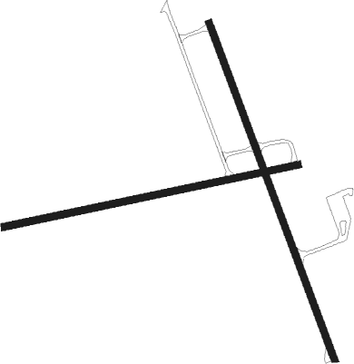
Antigo - Langlade Co
Airport details
| Country | United States of America |
| State | Wisconsin |
| Region | K5 |
| Airspace | Minneapolis Ctr |
| Municipality | Town of Antigo |
| Elevation | 1520ft (463m) |
| Timezone | GMT -6 |
| Coordinates | 45.15395, -89.11062 |
| Magnetic var | |
| Type | land |
| Available since | X-Plane v10.40 |
| ICAO code | KAIG |
| IATA code | n/a |
| FAA code | AIG |
Communication
| LANGLADE CO AWOS 3 | 119.075 |
| LANGLADE CO CTAF/UNICOM | 122.800 |
| LANGLADE CO Apch/Dep Mosinee RCAG | 124.400 |
Nearby Points of Interest:
Langlade County Courthouse
-Antigo Public Library and Deleglise Cabin
-Antigo Post Office
-Antigo Depot
-Antigo Opera House
-Lutheran Indian Mission
-D. C. Everest House
-C. F. Dunbar House
-E.K. Schuetz House
-Granville D. Jones House
-C. H. Wegner House
-Ely Wright House
-C. B. Bird House
-Merrill City Hall
-Hiram C. Stewart House
-Minertown-Oneva
-Louis Marchetti House
-Duey and Julia Wright House
-T.B. Scott Free Library
-First Street Bridge (Merrill, Wisconsin)
-Chicago and North-Western Land Office
-Marathon County Fairgrounds
-Saint Joseph of the Lake Church and Cemetery

Nearby beacons
| code | identifier | dist | bearing | frequency |
|---|---|---|---|---|
| AUW | WAUSAU VOR/DME | 27.3 | 237° | 111.60 |
| RHI | RHINELANDER VOR/DME | 32.3 | 324° | 109.20 |
| RH | ARSHA (RHINELANDER) NDB | 35.6 | 313° | 272 |
| DO | DOUGY (MINOCQUA WOODRUFF) NDB | 48.4 | 318° | 236 |
| GRB | GREEN BAY VORTAC | 53 | 123° | 115.50 |
| GR | FAMIS (GREEN BAY) NDB | 56.6 | 129° | 356 |
| IMT | IRON MOUNTAIN VOR/DME | 57.8 | 56° | 111.20 |
| SG | DEPRE (GREEN BAY) NDB | 61.6 | 128° | 332 |
| AQ | KOOKY (APPLETON) NDB | 64 | 143° | 407 |
Instrument approach procedures
| runway | airway (heading) | route (dist, bearing) |
|---|---|---|
| RW09 | COGIV (85°) | COGIV 3500ft |
| RNAV | COGIV 3500ft BEYAG (7mi, 85°) 3300ft KAIG (6mi, 85°) 1556ft (5367mi, 117°) 1772ft HEDIG (5355mi, 297°) 3400ft HEDIG (turn) | |
| RW17 | OZOXY (159°) | OZOXY 3400ft |
| RNAV | OZOXY 3400ft IMLIW (7mi, 158°) 3300ft EXOLE (3mi, 158°) 2420ft KAIG (3mi, 161°) 1561ft (5367mi, 117°) 1771ft ZABVI (5364mi, 297°) 3300ft ZABVI (turn) | |
| RW27 | HEDIG (265°) | HEDIG 3400ft |
| RNAV | HEDIG 3400ft FAVKI (7mi, 265°) 3300ft GUGDE (3mi, 265°) 2260ft KAIG (2mi, 265°) 1563ft (5367mi, 117°) 1773ft COGIV (5380mi, 297°) 3500ft COGIV (turn) | |
| RW35 | ZABVI (338°) | ZABVI 3300ft |
| RNAV | ZABVI 3300ft IYGUR (7mi, 338°) 3300ft KAIG (6mi, 337°) 1558ft (5367mi, 117°) 1768ft OZOXY (5371mi, 297°) 3400ft OZOXY (turn) |
Disclaimer
The information on this website is not for real aviation. Use this data with the X-Plane flight simulator only! Data taken with kind consent from X-Plane 12 source code and data files. Content is subject to change without notice.