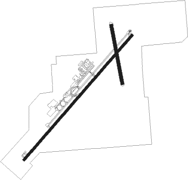
Alamogordo - Alamogordo White Sands Rgnl
Airport details
| Country | United States of America |
| State | New Mexico |
| Region | K2 |
| Airspace | Albuquerque Ctr |
| Municipality | Alamogordo |
| Elevation | 4199ft (1280m) |
| Timezone | GMT -7 |
| Coordinates | 32.83942, -105.99114 |
| Magnetic var | |
| Type | land |
| Available since | X-Plane v10.30 |
| ICAO code | KALM |
| IATA code | ALM |
| FAA code | ALM |
Communication
| Alamogordo White Sands Rgnl AWOS 3 | 127.825 |
| Alamogordo White Sands Rgnl CTAF/UNICOM | 122.800 |
| Alamogordo White Sands Rgnl HOLLOMAN Approach | 120.600 |
| Alamogordo White Sands Rgnl HOLLOMAN Departure | 128.100 |
Nearby Points of Interest:
Lincoln National Forest Service Building
-Alamogordo Woman's Club
-Jackson House
-Queen Anne House
-La Luz Pottery Factory
-White Sands National Park Historic District
-White Sands V-2 Launching Site

Nearby beacons
| code | identifier | dist | bearing | frequency |
|---|---|---|---|---|
| BWS | (ALAMOGORDO) DME | 1.5 | 230° | 109.60 |
| HMN | HOLLOMAN (ALAMOGORDO) TACAN | 6.1 | 281° | 114.50 |
| PIO | PINON VOR/DME | 39.3 | 114° | 110.40 |
| CEP | CAPITAN (RUIDOSO) NDB | 48.9 | 42° | 278 |
| EWM | NEWMAN VORTAC | 55.1 | 198° | 112.40 |
| EL | VALTR (EL PASO) NDB | 61 | 198° | 242 |
Departure and arrival routes
| Transition altitude | 18000ft |
| Transition level | 18000ft |
| SID end points | distance | outbound heading | |
|---|---|---|---|
| RW04 | |||
| CRONA1 | 93mi | 12° | |
Instrument approach procedures
| runway | airway (heading) | route (dist, bearing) |
|---|---|---|
| RW04 | CNX (192°) | CNX BAMIC (54mi, 192°) 15000ft WILOE (20mi, 192°) 13700ft SAMMM (20mi, 192°) 9200ft JASAN (6mi, 230°) 6000ft JASAN (turn) 6000ft |
| RW04 | PIO (294°) | PIO LISSO (34mi, 304°) 12000ft DOANN (6mi, 269°) 11300ft SAMMM (5mi, 229°) 9200ft JASAN (6mi, 230°) 6000ft JASAN (turn) 6000ft |
| RNAV | JASAN 6000ft HEPRO (4mi, 50°) 5300ft KALM (4mi, 50°) 4182ft (6209mi, 107°) 4600ft HALIC (6212mi, 287°) 6000ft HALIC (turn) |
Disclaimer
The information on this website is not for real aviation. Use this data with the X-Plane flight simulator only! Data taken with kind consent from X-Plane 12 source code and data files. Content is subject to change without notice.