Walla Walla - Walla Walla Regl
Airport details
| Country | United States of America |
| State | Washington |
| Region | K1 |
| Airspace | Seattle Ctr |
| Municipality | Walla Walla County |
| Elevation | 1205ft (367m) |
| Timezone | GMT -8 |
| Coordinates | 46.09520, -118.28594 |
| Magnetic var | |
| Type | land |
| Available since | X-Plane v10.40 |
| ICAO code | KALW |
| IATA code | ALW |
| FAA code | ALW |
Communication
| Walla Walla Regl ASOS | 135.875 |
| Walla Walla Regl CTAF | 118.500 |
| Walla Walla Regl Ground Control | 121.600 |
| Walla Walla Regl Tower | 118.500 |
| Walla Walla Regl CHINOOK Approach/Departure | 133.150 |
Approach frequencies
| ILS-cat-I | RW20 | 111.7 | 18.00mi |
| 3° GS | RW20 | 111.7 | 18.00mi |
Nearby Points of Interest:
Kirkman House
-Walla Walla Valley Traction Company Car Barn
-Fort Walla Walla
-Whitman Mission National Historic Site
-Adams Odd Fellows Hall
-Greasewood Finnish Apostolic Lutheran Church
-Bank of Starbuck
-Wallula Gap
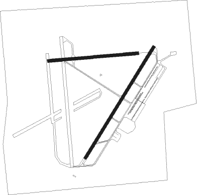
Runway info
Runway 2 / 20  | ||
| length | 1988m (6522ft) | |
| bearing | 46° / 226° | |
| width | 46m (151ft) | |
| surface | asphalt | |
| blast zone | 255m (837ft) / 255m (837ft) | |
| Runway 7 / 25 | ||
| length | 1364m (4475ft) | |
| bearing | 90° / 270° | |
| width | 46m (151ft) | |
| surface | asphalt | |
| blast zone | 0m (0ft) / 255m (837ft) | |
Nearby beacons
| code | identifier | dist | bearing | frequency |
|---|---|---|---|---|
| ALW | WALLA WALLA VOR/DME | 0.5 | 219° | 116.40 |
| AL | TRINA (WALLA WALLA) NDB | 6 | 48° | 353 |
| PSC | PASCO VOR/DME | 36.1 | 282° | 109.80 |
| PDT | PENDLETON VORTAC | 36.2 | 239° | 114.70 |
| LGD | LA GRANDE NDB | 47.1 | 157° | 296 |
Instrument approach procedures
| runway | airway (heading) | route (dist, bearing) |
|---|---|---|
| RW02 | TACUP (85°) | TACUP ZUMPU (6mi, 140°) 4400ft CILON (7mi, 112°) 3900ft |
| RW02 | TOLGA (341°) | TOLGA ZETIG (7mi, 278°) 6000ft CILON (4mi, 278°) 3900ft CILON (turn) 3900ft |
| RNAV | CILON 3900ft HIPUX (7mi, 46°) 2800ft KALW (6mi, 45°) 1199ft (6557mi, 111°) 1373ft COSUV (6552mi, 291°) DATES (8mi, 360°) 4000ft DATES (turn) | |
| RW20 | ALW (39°) | ALW KIMIW (13mi, 47°) 4600ft KIMIW (turn) 4600ft |
| RW20 | BACUN (136°) | BACUN KIMIW (16mi, 96°) 4600ft KIMIW (turn) 4600ft |
| RW20 | RENGO (241°) | RENGO YALLO (5mi, 253°) 6000ft KIMIW (6mi, 255°) 4600ft |
| RNAV | KIMIW 4600ft COSUV (6mi, 227°) 3200ft WACKE (2mi, 227°) 2420ft KALW (4mi, 229°) 1244ft (6557mi, 111°) 1394ft CILON (6568mi, 291°) 4000ft CILON (turn) |
Disclaimer
The information on this website is not for real aviation. Use this data with the X-Plane flight simulator only! Data taken with kind consent from X-Plane 12 source code and data files. Content is subject to change without notice.