Alma - Bacon Co
Airport details
| Country | United States of America |
| State | Georgia |
| Region | K7 |
| Airspace | Jacksonville Ctr |
| Municipality | Alma |
| Elevation | 200ft (61m) |
| Timezone | GMT -5 |
| Coordinates | 31.53605, -82.50655 |
| Magnetic var | |
| Type | land |
| Available since | X-Plane v10.40 |
| ICAO code | KAMG |
| IATA code | n/a |
| FAA code | AMG |
Communication
| Bacon Co ASOS | 118.325 |
| Bacon Co CTAF/UNICOM | 122.700 |
Nearby Points of Interest:
Alma Depot
-Rabinowitz Building
-Bacon County Courthouse
-United States Post Office-Baxley, Georgia
-Appling County Courthouse
-C. W. Deen House
-Gaskin Avenue Historic District
-Union Banking Company Building
-Downtown Douglas Historic District
-Lonnie A. Pope House
-Eleventh District A & M School-South Georgia College Historic District
-Pierce County Courthouse
-Blackshear Depot
-Pierce County Jail
-Jeff Davis County Courthouse
-Pace House
-United States Post Office and Courthouse
-Downtown Waycross Historic District
-First African Baptist Church and Parsonage (Waycross, Georgia)
-Atkinson County Courthouse
-Ritch–Carter–Martin House
-Obediah Barber Homestead
-Woodland
-McCranie's Turpentine Still
-Jim Smith House
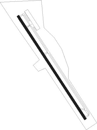
Runway info
| Runway 15 / 33 | ||
| length | 1525m (5003ft) | |
| bearing | 147° / 327° | |
| width | 30m (100ft) | |
| surface | asphalt | |
| blast zone | 31m (102ft) / 31m (102ft) | |
Nearby beacons
| code | identifier | dist | bearing | frequency |
|---|---|---|---|---|
| AMG | ALMA VORTAC | 0 | 288° | 115.10 |
| BHC | BAXLEY NDB | 12.1 | 33° | 376 |
| AY | WIKET (WAYCROSS) NDB | 13.8 | 153° | 219 |
| AYS | WAYCROSS VORTAC | 16.2 | 191° | 110.20 |
| AZE | HAZLEHURST NDB | 21.8 | 338° | 414 |
| OWC | COFFEE COUNTY (DOUGLAS) NDB | 22.7 | 253° | 390 |
| HOE | HOMERVILLE NDB | 31.9 | 209° | 209 |
| MQW | MC RAE NDB | 38.7 | 326° | 280 |
| SUR | FITZGERALD NDB | 40.3 | 276° | 362 |
| UQN | ONYUN (VIDALIA) NDB | 42.6 | 17° | 372 |
| EZM | EASTMAN NDB | 48.6 | 313° | 366 |
| VAD | MOODY (VALDOSTA) TACAN | 49.4 | 230° | 113.30 |
| IFM | TIFT MYERS (TIFTON) VOR | 50.7 | 264° | 112.50 |
| MOQ | MC INTOSH (HINESVILLE) NDB | 53.9 | 73° | 263 |
| OTK | VALDOSTA VOR/DME | 60.3 | 226° | 114.80 |
| DB | CREKE (DUBLIN) NDB | 62.4 | 332° | 251 |
| VNA | VIENNA VORTAC | 64.8 | 304° | 116.50 |
| BZ | BULLO (STATESBORO) NDB | 68 | 44° | 407 |
Instrument approach procedures
| runway | airway (heading) | route (dist, bearing) |
|---|---|---|
| RW16 | CUYAT (147°) | CUYAT 2300ft |
| RNAV | CUYAT 2300ft HOREB (7mi, 147°) 1800ft ULIRY (3mi, 147°) 940ft KAMG (3mi, 147°) 255ft (5022mi, 111°) 461ft JEKEK (5015mi, 291°) 2300ft JEKEK (turn) | |
| RW34 | JEKEK (327°) | JEKEK 2300ft |
| RNAV | JEKEK 2300ft HISEB (7mi, 327°) 1800ft HOXOX (3mi, 327°) 820ft KAMG (2mi, 327°) 230ft (5022mi, 111°) 452ft CUYAT (5029mi, 291°) 2300ft CUYAT (turn) |
Disclaimer
The information on this website is not for real aviation. Use this data with the X-Plane flight simulator only! Data taken with kind consent from X-Plane 12 source code and data files. Content is subject to change without notice.