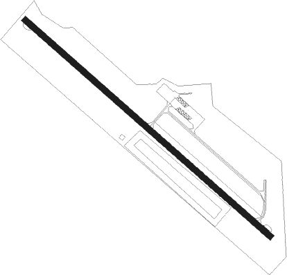
Sault Ste Marie - Sault Ste Marie Muni
Airport details
| Country | United States of America |
| State | Michigan |
| Region | K5 |
| Airspace | Minneapolis Ctr |
| Municipality | Sault Ste. Marie |
| Elevation | 714ft (218m) |
| Timezone | GMT -5 |
| Coordinates | 46.47922, -84.36839 |
| Magnetic var | |
| Type | land |
| Available since | X-Plane v10.40 |
| ICAO code | KANJ |
| IATA code | n/a |
| FAA code | ANJ |
Communication
| Sault Ste Marie Muni ASOS | 118.375 |
| Sault Ste Marie Muni CTAF/UNICOM | 122.700 |
Nearby Points of Interest:
Adams Building
-Gowan Block
-Chippewa County Courthouse
-Fort Brady
-Holy Name of Mary Pro-Cathedral
-Old Federal Building
-Elmwood
-Church of Our Saviour, Friend of Children
-Philetus S. Church House
-Lipsett Hardware Building
-Searchmont railway station
-M-28–Tahquamenon River Bridge
-Rydal Bank Church
Nearby beacons
| code | identifier | dist | bearing | frequency |
|---|---|---|---|---|
| SSM | SAULT STE MARIE VOR/DME | 4.5 | 141° | 112.20 |
| CI | KOLOE (SAULT STE MARIE) NDB | 11.3 | 230° | 400 |
| PLN | PELLSTON VORTAC | 52.4 | 199° | 111.80 |
Instrument approach procedures
| runway | airway (heading) | route (dist, bearing) |
|---|---|---|
| RW14 | SSM (321°) | SSM KUCEB (18mi, 309°) 2800ft KUCEB (turn) 2800ft |
| RW14 | WAGGO (123°) | WAGGO KUCEB (23mi, 122°) 2800ft KUCEB (turn) 2800ft |
| RW14 | WUYFO (79°) | WUYFO HARUV (19mi, 55°) 2800ft KUCEB (5mi, 56°) 2800ft |
| RNAV | KUCEB 2800ft CAKTA (7mi, 125°) 2600ft AJAPY (3mi, 125°) 1720ft KANJ (3mi, 125°) 743ft (5172mi, 119°) 947ft YIRUC (5169mi, 299°) ALVUS (4mi, 129°) 3000ft ALVUS (turn) | |
| RW32 | HITAM (328°) | HITAM ZIDVI (11mi, 356°) 3100ft |
| RW32 | PINES (15°) | PINES ZIDVI (23mi, 44°) 3100ft |
| RW32 | SSM (321°) | SSM ZIDVI (7mi, 116°) 3100ft ZIDVI (turn) 3100ft |
| RNAV | ZIDVI 3100ft YIRUC (6mi, 306°) 2200ft CUXIG (3mi, 306°) 1280ft KANJ (2mi, 306°) 746ft (5172mi, 119°) 1040ft KUCEB (5182mi, 299°) 2800ft KUCEB (turn) |
Disclaimer
The information on this website is not for real aviation. Use this data with the X-Plane flight simulator only! Data taken with kind consent from X-Plane 12 source code and data files. Content is subject to change without notice.