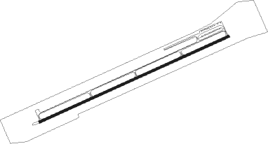
Arco - Arco-butte County
Airport details
| Country | United States of America |
| State | Idaho |
| Region | K1 |
| Airspace | Salt Lake City Ctr |
| Municipality | Butte County |
| Elevation | 5334ft (1626m) |
| Timezone | GMT -7 |
| Coordinates | 43.60353, -113.33425 |
| Magnetic var | |
| Type | land |
| Available since | X-Plane v10.32 |
| ICAO code | KAOC |
| IATA code | n/a |
| FAA code | AOC |
Communication
| Arco-Butte County CTAF/UNICOM | 122.800 |
| Arco-Butte County SALT LAKE ApproachROACH | 128.350 |
| Arco-Butte County SALT LAKE DepartureARTURE | 128.350 |
Nearby Points of Interest:
Goodale's Cutoff
Nearby beacons
| code | identifier | dist | bearing | frequency |
|---|---|---|---|---|
| HLE | HAILEY NDB | 42.9 | 253° | 220 |
| PI | TYHEE (POCATELLO) NDB | 52.4 | 128° | 383 |
| PIH | POCATELLO VOR/DME | 53.1 | 137° | 112.60 |
Departure and arrival routes
| Transition altitude | 18000ft |
| Transition level | 18000ft |
| SID end points | distance | outbound heading | |
|---|---|---|---|
| RW24 | |||
| JATTS1 | 27mi | 128° | |
Instrument approach procedures
| runway | airway (heading) | route (dist, bearing) |
|---|---|---|
| RWNVA | BETRE (19°) | BETRE NEJAP (18mi, 43°) 9500ft RINIJ (5mi, 43°) 8900ft |
| RWNVA | JATTS (308°) | JATTS BOFZA (10mi, 287°) 9800ft RINIJ (5mi, 287°) 8900ft |
| RWNVA | RINIJ (336°) | RINIJ 8900ft |
| RNAV | RINIJ 8900ft FIGOJ (10mi, 339°) 7400ft ITSEJ (5mi, 331°) 6680ft (6406mi, 111°) 6680ft RINIJ (6406mi, 291°) 8900ft RINIJ (turn) 8900ft |
Disclaimer
The information on this website is not for real aviation. Use this data with the X-Plane flight simulator only! Data taken with kind consent from X-Plane 12 source code and data files. Content is subject to change without notice.
