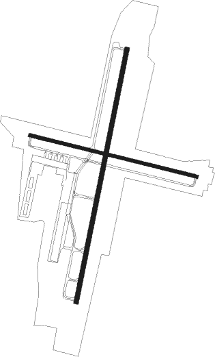
Altoona - Altoona Blair Co
Airport details
| Country | United States of America |
| State | Pennsylvania |
| Region | K6 |
| Airspace | Cleveland Ctr |
| Municipality | North Woodbury Township |
| Elevation | 1501ft (458m) |
| Timezone | GMT -5 |
| Coordinates | 40.29636, -78.32003 |
| Magnetic var | |
| Type | land |
| Available since | X-Plane v10.32 |
| ICAO code | KAOO |
| IATA code | AOO |
| FAA code | AOO |
Communication
| Altoona Blair Co ASOS | 127.125 |
| Altoona Blair Co CTAF | 123.600 |
| Altoona Blair Co UNICOM | 123.000 |
Approach frequencies
| ILS-cat-I | RW21 | 111.1 | 18.00mi |
| 3° GS | RW21 | 111.1 | 18.00mi |
Nearby Points of Interest:
Roaring Spring Historic District
-Minersville Coke Ovens
-Pennsylvania Canal Guard Lock and Feeder Dam, Raystown Branch
-Daniel Royer House
-Marklesburg Historic District
-Mount Union Historic District
-New Enterprise Public School
-Hollidaysburg Historic District
-Blair County Courthouse
-Highland Hall
-Brumbaugh Homestead
-Williamsburg Historic District
-McConnellsburg Historic District
-Woodvale Historic District
-Altoona Armory
-Robertsdale Historic District
-Llyswen Historic District
-Knickerbocker Historic District
-Baker Mansion
-Allegheny Furnace
-Broad Avenue Historic District
-Central Trust Company Buildings
-Mishler Theatre
-Cathedral of the Blessed Sacrament
-Downtown Altoona Historic District

Nearby beacons
| code | identifier | dist | bearing | frequency |
|---|---|---|---|---|
| JST | JOHNSTOWN VOR/DME | 23.5 | 272° | 113 |
| REC | REVLOC VOR/DME | 24.6 | 300° | 110.60 |
| THS | SAINT THOMAS VORTAC | 27.6 | 135° | 115 |
| SYS | STOYSTOWN (SOMERSET) NDB | 30.1 | 251° | 209 |
| PSB | PHILIPSBURG VORTAC | 40.1 | 28° | 115.50 |
| HGR | HAGERSTOWN VOR | 41.8 | 142° | 109.80 |
| UN | PENUE (STATE COLLEGE) NDB | 45.3 | 43° | 388 |
| GRV | DME | 52 | 228° | 112.30 |
| ETG | KEATING VORTAC | 55.7 | 11° | 116 |
| MRB | MARTINSBURG VORTAC | 58.8 | 153° | 112.10 |
| FDK | FREDERICK VOR | 68.6 | 133° | 109 |
Instrument approach procedures
| runway | airway (heading) | route (dist, bearing) |
|---|---|---|
| RW03-Y | CRYSS (37°) | CRYSS 4900ft |
| RNAV | CRYSS 4900ft PHILL (6mi, 38°) 3600ft RIVIT (6mi, 38°) 1699ft (4872mi, 117°) 1860ft COPDA (4871mi, 297°) GANEC (11mi, 34°) 5000ft GANEC (turn) | |
| RW03-Z | IDUSE (21°) | IDUSE 4500ft |
| RNAV | IDUSE 4500ft WOXUB (6mi, 20°) 3600ft KAOO (7mi, 21°) 1558ft (4872mi, 117°) 1828ft TOGJU (4871mi, 297°) GANEC (11mi, 39°) 5000ft GANEC (turn) | |
| RW21 | KEWER (201°) | KEWER 4500ft |
| RNAV | KEWER 4500ft ROBPO (6mi, 201°) 3500ft ZAVMA (3mi, 201°) 2460ft KAOO (3mi, 200°) 1521ft (4872mi, 117°) 1903ft YOLUP (4872mi, 297°) CRYSS (10mi, 220°) 5000ft CRYSS (turn) |
Disclaimer
The information on this website is not for real aviation. Use this data with the X-Plane flight simulator only! Data taken with kind consent from X-Plane 12 source code and data files. Content is subject to change without notice.