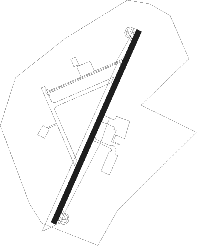
Aberdeen Proving Grounds(aberdeen) - Phillips Aaf
Airport details
| Country | United States of America |
| State | Maryland |
| Region | K6 |
| Airspace | Washington Ctr |
| Municipality | Harford County |
| Elevation | 57ft (17m) |
| Timezone | GMT -5 |
| Coordinates | 39.46622, -76.16881 |
| Magnetic var | |
| Type | land |
| Available since | X-Plane v10.40 |
| ICAO code | KAPG |
| IATA code | APG |
| FAA code | APG |
Communication
| Phillips AAF Ground Control | 121.900 |
| Phillips AAF Tower | 126.150 |
| Phillips AAF POTOMAC Approach/Departure | 125.525 |
Nearby Points of Interest:
St. George's Parish Vestry House
-Griffith House
-Poplar Hill
-James B. Baker House
-Swansbury
-Fair Meadows
-Best Endeavor
-Nelson-Reardon-Kennard House
-Chestnut Ridge
-Winsted
-Mount Adams
-Broom's Bloom
-Sion Hill
-Susquehanna River
-Webster's Forest
-Southern Terminal, Susquehanna and Tidewater Canal
-Perry Point Mansion House and Mill
-Gunpowder Meetinghouse
-Dibb House
-Medical Hall Historic District
-Woodlands
-Tudor Hall
-Silver Houses Historic District
-Woodview
-Paw Paw Building
Nearby beacons
| code | identifier | dist | bearing | frequency |
|---|---|---|---|---|
| MTN | MARTIN (BALTIMORE) TACAN | 13.8 | 241° | 134.10 |
| IL | HADIN (WILMINGTON) NDB | 26.6 | 78° | 248 |
| BAL | BALTIMORE VORTAC | 28.9 | 239° | 115.10 |
| DQO | DUPONT (WILMINGTON) VORTAC | 28.9 | 69° | 114 |
| FND | ELLICOTT (BALTIMORE) NDB | 30.2 | 254° | 371 |
| ENO | SMYRNA (KENTON) VORTAC | 33.4 | 110° | 111.40 |
| MXE | MODENA VORTAC | 35.5 | 48° | 113.20 |
| BUH | ANNE ARUNDEL (FT MEADE) NDB | 35.8 | 237° | 260 |
| EMI | WESTMINSTER VORTAC | 37.5 | 272° | 117.90 |
| DOV | DOVER TACAN | 38.2 | 115° | 110 |
| LRP | LANCASTER VOR/DME | 39.6 | 349° | 117.30 |
| OOD | WOODSTOWN VORTAC | 41.3 | 79° | 112.80 |
| ADW | ANDREWS (CAMP SPRINGS) VORTAC | 51.2 | 227° | 113.10 |
| OTT | NOTTINGHAM VORTAC | 52.9 | 217° | 113.70 |
| PTW | POTTSTOWN VORTAC | 53.3 | 39° | 116.50 |
| DCA | WASHINGTON, D.C. VOR/DME | 54.4 | 235° | 111 |
| GTN | GEORGETOWN (WASH., D.C.) NDB | 54.9 | 241° | 323 |
| ING | AMBLER NDB | 56.8 | 53° | 275 |
| CX | LATLE (HARRISBURG) NDB | 57.6 | 310° | 219 |
| MD | ENOLA (HARRISBURG) NDB | 57.7 | 317° | 204 |
| DCA | OXONN (WASHINGTON) NDB | 58 | 231° | 332 |
| ATR | WATERLOO VOR/DME | 59.5 | 124° | 112.60 |
| BZJ | BELLGROVE (INDIANTOWN GAP) NDB | 60.8 | 338° | 328 |
| HAR | HARRISBURG VORTAC | 65.1 | 313° | 112.50 |
| DAA | DAVEE (FT BELVOIR) NDB | 65.2 | 229° | 223 |
Instrument approach procedures
| runway | airway (heading) | route (dist, bearing) |
|---|---|---|
| RW22 | CURVY (224°) | CURVY 2100ft |
| RNAV | CURVY 2100ft REDTO (6mi, 231°) 1700ft WIDEP (3mi, 215°) 900ft KAPG (3mi, 216°) 104ft (4766mi, 117°) 500ft SUDOY (4766mi, 297°) 2000ft SUDOY (turn) |
Disclaimer
The information on this website is not for real aviation. Use this data with the X-Plane flight simulator only! Data taken with kind consent from X-Plane 12 source code and data files. Content is subject to change without notice.