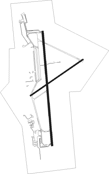
Alpena - Alpena County Regl
Airport details
| Country | United States of America |
| State | Michigan |
| Region | K5 |
| Airspace | Minneapolis Ctr |
| Municipality | Maple Ridge Township |
| Elevation | 687ft (209m) |
| Timezone | GMT -5 |
| Coordinates | 45.07808, -83.56030 |
| Magnetic var | |
| Type | land |
| Available since | X-Plane v10.32 |
| ICAO code | KAPN |
| IATA code | APN |
| FAA code | APN |
Communication
| Alpena County Regl ASOS | 120.675 |
| Alpena County Regl CTAF | 121.350 |
| Alpena County Regl UNICOM | 122.950 |
| Alpena County Regl Ground Control | 121.900 |
| Alpena County Regl Tower | 121.350 |
| Alpena County Regl Approach/Departure | 128.425 |
Approach frequencies
| ILS-cat-I | RW01 | 109.7 | 18.00mi |
| 3° GS | RW01 | 109.7 | 18.00mi |
Nearby Points of Interest:
Katherine V.
-Alpena County Courthouse
-Kyle Spangler
-Radka-Bradley House
-Sturgeon Point Light

Nearby beacons
| code | identifier | dist | bearing | frequency |
|---|---|---|---|---|
| APN | ALPENA VORTAC | 0.3 | 35° | 108.80 |
| AP | FELPS (ALPENA) NDB | 7 | 180° | 206 |
| ASP | SABLE (OSCODA) DME | 38.4 | 165° | 116.10 |
Instrument approach procedures
| runway | airway (heading) | route (dist, bearing) |
|---|---|---|
| RW01 | JEGOB (0°) | JEGOB 2800ft |
| RW01 | RABBO (117°) | RABBO HOLKI (33mi, 141°) 3000ft JEGOB (5mi, 90°) 2800ft |
| RW01 | SPARR (87°) | SPARR HOLKI (33mi, 103°) 3100ft JEGOB (5mi, 90°) 2800ft |
| RW01 | WHOOP (19°) | WHOOP JEGOB (35mi, 25°) 3000ft |
| RNAV | JEGOB 2800ft ONSOE (6mi, 360°) 2800ft KAPN (7mi, 0°) 735ft HIMVO (3mi, 359°) RABBO (24mi, 292°) 3500ft RABBO (turn) | |
| RW19 | APN (215°) | APN UFORE (12mi, 358°) 2500ft UFORE (turn) 2500ft |
| RW19 | RNAND (152°) | RNAND UFORE (5mi, 99°) 2500ft |
| RNAV | UFORE 2500ft LOGOQ (6mi, 180°) 2500ft NOFHY (4mi, 180°) 1300ft KAPN (2mi, 178°) 733ft (5132mi, 118°) 933ft JEGOB (5131mi, 298°) 2800ft JEGOB (turn) |
Disclaimer
The information on this website is not for real aviation. Use this data with the X-Plane flight simulator only! Data taken with kind consent from X-Plane 12 source code and data files. Content is subject to change without notice.