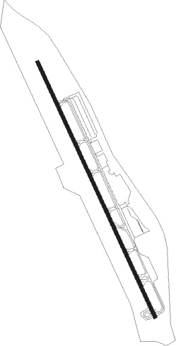
Aspen - Aspen-pitkin County
Airport details
| Country | United States of America |
| State | Colorado |
| Region | K2 |
| Airspace | Denver Ctr |
| Municipality | Pitkin County |
| Elevation | 7834ft (2388m) |
| Timezone | GMT -7 |
| Coordinates | 39.22528, -106.86916 |
| Magnetic var | |
| Type | land |
| Available since | X-Plane v10.35 |
| ICAO code | KASE |
| IATA code | ASE |
| FAA code | ASE |
Communication
| Aspen-Pitkin County ATIS | 120.400 |
| Aspen-Pitkin County UNICOM | 122.950 |
| Aspen-Pitkin County CLEARANCE DELIVERY | 123.750 |
| Aspen-Pitkin County GROUND | 121.900 |
| Aspen-Pitkin County TOWER | 118.850 |
| Aspen-Pitkin County ApproachROACH | 123.800 |
| Aspen-Pitkin County DepartureARTURE | 123.800 |
Approach frequencies
| LOC | RW15 | 111.15 | 18.00mi |
Nearby Points of Interest:
Maroon Creek Bridge
-Holden/Marolt Mining and Ranching Museum
-Samuel I. Hallett House
-Pioneer Park
-Shilling–Lamb House
-Davis Waite House
-D.E. Frantz House
-Newberry House
-Smith–Elisha House
-Bowles–Cooley House
-Matthew Callahan Log Cabin
-Aspen Community Church
-Thomas Hynes House
-Sheely Bridge
-Dixon–Markle House
-Collins Block
-Brand Building
-Aspen City Hall
-Riede's City Bakery
-Pitkin County Courthouse
-La Fave Block
-Smuggler Mine
-Independence
-Osgood–Kuhnhausen House
-Redstone Historic District
Nearby beacons
| code | identifier | dist | bearing | frequency |
|---|---|---|---|---|
| DBL | RED TABLE (EAGLE) VOR/DME | 12.9 | 353° | 113 |
| SXW | SNOW (EAGLE) VOR/DME | 24.9 | 343° | 109.20 |
| RIL | RIFLE VOR/DME | 43.4 | 290° | 110.60 |
| HBU | BLUE MESA (GUNNISON) VOR/DME | 47.1 | 192° | 114.90 |
| RLG | KREMMLING VOR/DME | 50.6 | 29° | 113.80 |
Departure and arrival routes
| Transition altitude | 18000ft |
| Transition level | 18000ft |
| SID end points | distance | outbound heading | |
|---|---|---|---|
| RW33 | |||
| ASPE7 | 26mi | 5° | |
| LINDZ9 | 51mi | 29° | |
| GLENO3 | 24mi | 284° | |
| COZY1, SARDD3 | 17mi | 300° | |
Instrument approach procedures
| runway | airway (heading) | route (dist, bearing) |
|---|---|---|
| RW15-Z | DBL (173°) | DBL SITWO (4mi, 302°) 14000ft NALDY (6mi, 229°) 13000ft WASLO (5mi, 125°) 11900ft |
| RW15-Z | LINDZ (120°) | LINDZ NALDY (5mi, 79°) 13000ft WASLO (5mi, 125°) 11900ft |
| RNAV | WASLO 11900ft ONCAP (4mi, 125°) 10800ft JOSAN (2mi, 154°) 9920ft WIDMI (2mi, 154°) 8861ft LINDZ (15mi, 296°) 14000ft LINDZ (turn) | |
| RWNVF | DBL (173°) | DBL 13700ft |
| RNAV | DBL 13700ft HEPEB (4mi, 174°) 12900ft ALLIX (3mi, 174°) 12200ft MAFMU (5mi, 174°) 8745ft LINDZ (15mi, 295°) GLENO (10mi, 259°) 14000ft GLENO (turn) |
Disclaimer
The information on this website is not for real aviation. Use this data with the X-Plane flight simulator only! Data taken with kind consent from X-Plane 12 source code and data files. Content is subject to change without notice.