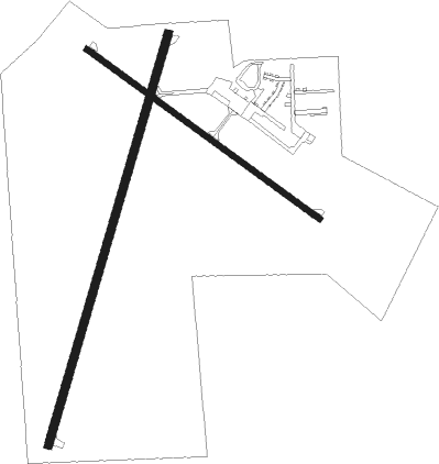
Ashland - John F. Kennedy Memorial
Airport details
| Country | United States of America |
| State | Wisconsin |
| Region | K5 |
| Airspace | Minneapolis Ctr |
| Municipality | Ashland |
| Elevation | 826ft (252m) |
| Timezone | GMT -6 |
| Coordinates | 46.54853, -90.91898 |
| Magnetic var | |
| Type | land |
| Available since | X-Plane v10.40 |
| ICAO code | KASX |
| IATA code | ASX |
| FAA code | ASX |
Communication
| John F. Kennedy Memorial ASOS | 126.775 |
| John F. Kennedy Memorial CTAF/UNICOM | 122.800 |
| John F. Kennedy Memorial MINNEAPOLIS Approach/Departure | 126.450 |
Approach frequencies
| LOC | RW02 | 109.3 | 18.00mi |
Nearby Points of Interest:
Beaser School
-Union Depot
-Wilmarth School
-Old Ashland Post Office
-Security Savings Bank
-Ashland County Courthouse
-Ellis School
-Washburn Public Library
-East Third Street Residential Historic District
-Bayfield County Courthouse
-Coole Park Manor
-Bayfield Fish Hatchery
-Copper Falls State Park
-Christ Episcopal Church
-Frank Boutin, Jr. House
-Mellen City Hall
-Bass Island Brownstone Company Quarry
-Big Bay sloop
-Herbster Community Center
-Hokenson Fishing Dock
-Forest Lodge Library
-Marquette
-Noquebay

Nearby beacons
| code | identifier | dist | bearing | frequency |
|---|---|---|---|---|
| IWD | IRONWOOD VOR/DME | 32.7 | 91° | 108.80 |
| HYR | DME | 38.6 | 225° | 113.40 |
Instrument approach procedures
| runway | airway (heading) | route (dist, bearing) |
|---|---|---|
| RW02 | CEKDA (69°) | CEKDA FOMLO (11mi, 107°) 3600ft FOMLO (turn) 3600ft |
| RW02 | ERIYI (318°) | ERIYI FOMLO (27mi, 295°) 3600ft |
| RNAV | FOMLO 3600ft ELICU (6mi, 29°) 3000ft HEPED (4mi, 29°) 1720ft KASX (3mi, 30°) 860ft (5443mi, 117°) 1076ft HOSUT (5439mi, 297°) 3200ft HOSUT (turn) | |
| RW13 | DLH (101°) | DLH JAVUT (43mi, 96°) 3500ft |
| RW13 | GRASS (45°) | GRASS ZOXED (16mi, 320°) 3500ft JAVUT (9mi, 56°) 3500ft |
| RW13 | WASPS (202°) | WASPS JAVUT (12mi, 282°) 3500ft JAVUT (turn) 3500ft |
| RNAV | JAVUT 3500ft KIGCE (6mi, 120°) 2900ft TOVLE (4mi, 120°) 1740ft KASX (3mi, 123°) 864ft (5443mi, 117°) 1074ft JILUL (5433mi, 297°) 3500ft JILUL (turn) | |
| RW20 | HOSUT (209°) | HOSUT 6000ft HOSUT (turn) 3200ft |
| RW20 | IWD (271°) | IWD ZODET (24mi, 293°) 3200ft HOSUT (8mi, 270°) 3200ft |
| RW20 | NOYIC (111°) | NOYIC COVIV (12mi, 67°) 3200ft HOSUT (9mi, 105°) 3200ft |
| RNAV | HOSUT 3200ft IRORE (7mi, 209°) 2500ft KASX (5mi, 208°) 857ft (5443mi, 117°) 1124ft FOMLO (5448mi, 297°) 3600ft FOMLO (turn) | |
| RW31 | ERIYI (318°) | ERIYI JILUL (21mi, 330°) 3500ft |
| RW31 | GRASS (45°) | GRASS IWTEN (12mi, 100°) 3600ft JILUL (9mi, 51°) 3500ft |
| RW31 | WASPS (202°) | WASPS JILUL (16mi, 138°) 3500ft JILUL (turn) 3500ft |
| RNAV | JILUL 3500ft OPITE (7mi, 301°) 2600ft KASX (6mi, 299°) 847ft (5443mi, 117°) 1060ft JAVUT (5453mi, 297°) 3500ft JAVUT (turn) |
Disclaimer
The information on this website is not for real aviation. Use this data with the X-Plane flight simulator only! Data taken with kind consent from X-Plane 12 source code and data files. Content is subject to change without notice.