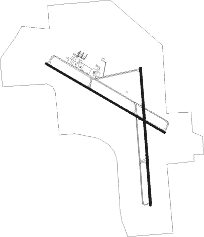
Watertown - Watertown Regl
Airport details
| Country | United States of America |
| State | South Dakota |
| Region | K3 |
| Airspace | Minneapolis Ctr |
| Municipality | Watertown |
| Elevation | 1748ft (533m) |
| Timezone | GMT -6 |
| Coordinates | 44.91397, -97.15472 |
| Magnetic var | |
| Type | land |
| Available since | X-Plane v10.40 |
| ICAO code | KATY |
| IATA code | ATY |
| FAA code | ATY |
Communication
| Watertown Regl ASOS | 126.625 |
| Watertown Regl CTAF/UNICOM | 123.050 |
Approach frequencies
| ILS-cat-I | RW35 | 111.9 | 18.00mi |
| 3° GS | RW35 | 111.9 | 18.00mi |
Nearby Points of Interest:
Evangelical United Brethren Church
-Old Post Office
-Codington County Courthouse
-Codington County Heritage Museum
-Dr. Tarbell House
-Corson Emminger Round Barn
-Swedish Lutheran Church of Strandburg
-Lebanon Lutheran Church
-First State Bank Building

Nearby beacons
| code | identifier | dist | bearing | frequency |
|---|---|---|---|---|
| ATY | WATERTOWN VORTAC | 3.9 | 11° | 116.60 |
| BK | CHRLZ (BROOKINGS) NDB | 34.7 | 160° | 335 |
Instrument approach procedures
| runway | airway (heading) | route (dist, bearing) |
|---|---|---|
| RW12 | ATY (191°) | ATY JEBER (11mi, 281°) 3600ft JEBER (turn) 3600ft |
| RW12 | AYUNE (71°) | AYUNE JEBER (20mi, 44°) 3600ft |
| RW12 | CALAG (117°) | CALAG JEBER (15mi, 117°) 3600ft |
| RW12 | STUCK (189°) | STUCK JEBER (22mi, 224°) 3600ft |
| RNAV | JEBER 3600ft FENIN (6mi, 116°) 3300ft KATY (5mi, 116°) 1796ft DELDE (12mi, 116°) 3600ft DELDE (turn) | |
| RW17 | ATY (191°) | ATY BOBDE (7mi, 356°) 3600ft BOBDE (turn) 3600ft |
| RW17 | CALAG (117°) | CALAG BOBDE (22mi, 97°) 3600ft |
| RW17 | STUCK (189°) | STUCK BOBDE (14mi, 196°) 3600ft |
| RNAV | BOBDE 3600ft RIKSE (6mi, 180°) 3300ft KATY (5mi, 183°) 1786ft APEDE (2mi, 173°) VESTY (10mi, 153°) 4000ft VESTY (turn) | |
| RW30 | ATY (191°) | ATY DELDE (14mi, 129°) 3600ft DELDE (turn) 3600ft |
| RW30 | BUCCA (277°) | BUCCA DELDE (15mi, 263°) 3600ft |
| RW30 | OBITT (341°) | OBITT DELDE (21mi, 12°) 3600ft |
| RNAV | DELDE 3600ft HAVDI (6mi, 296°) 3500ft KATY (6mi, 296°) 1778ft JEBER (12mi, 296°) 3600ft JEBER (turn) | |
| RW35 | ASTOE (311°) | ASTOE RIPVE (26mi, 294°) 4000ft |
| RW35 | ATY (191°) | ATY RIPVE (17mi, 182°) 4000ft RIPVE (turn) 4000ft |
| RW35 | ZOTBY (36°) | ZOTBY RIPVE (21mi, 54°) 4000ft |
| RNAV | RIPVE 4000ft OXSAS (6mi, 0°) 3800ft FOMLI (3mi, 0°) 2900ft KATY (4mi, 357°) 1796ft (5709mi, 115°) 1945ft BOBDE (5708mi, 295°) 3600ft BOBDE (turn) |
Disclaimer
The information on this website is not for real aviation. Use this data with the X-Plane flight simulator only! Data taken with kind consent from X-Plane 12 source code and data files. Content is subject to change without notice.