Algona - Algona Mun
Airport details
| Country | United States of America |
| State | Iowa |
| Region | K3 |
| Airspace | Minneapolis Ctr |
| Municipality | Algona |
| Elevation | 1219ft (372m) |
| Timezone | GMT -6 |
| Coordinates | 43.07792, -94.27194 |
| Magnetic var | |
| Type | land |
| Available since | X-Plane v10.30 |
| ICAO code | KAXA |
| IATA code | AXG |
| FAA code | AXA |
Communication
| Algona Mun AWOS 3 | 118.475 |
| Algona Mun CTAF/UNICOM | 122.800 |
Nearby Points of Interest:
Henry Adams Building
-Emmetsburg Public Library
-George E. Stubbins House
-Stephen Harris Taft House
-Humboldt County Courthouse
-Corydon Brown House
-Humboldt Public Library
-Pocahontas County Courthouse
-Saints Peter and Paul Catholic Church
-Laurens Carnegie Free Library
-Hancock County Courthouse
-Eagle Grove Public Library
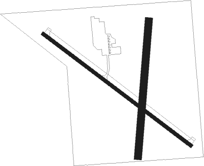
Runway info
Runway 12 / 30  | ||
| length | 1208m (3963ft) | |
| bearing | 123° / 303° | |
| width | 23m (75ft) | |
| surface | concrete | |
| Runway 18 / 36 | ||
| length | 884m (2900ft) | |
| bearing | 192° / 12° | |
| width | 49m (160ft) | |
| surface | grass | |
Nearby beacons
| code | identifier | dist | bearing | frequency |
|---|---|---|---|---|
| EGQ | EMMETSBURG NDB | 19.1 | 273° | 410 |
| FOD | FORT DODGE VORTAC | 28 | 183° | 113.50 |
| FQ | MONTZ (FAIRMONT) NDB | 29.8 | 355° | 420 |
| FO | BARRO (FORT DODGE) NDB | 33.8 | 183° | 341 |
| FNX | DME | 34.1 | 346° | 114.25 |
| FRM | DME | 34.7 | 345° | 110.20 |
| SPW | SPENCER VOR/DME | 41 | 275° | 110 |
| MCW | MASON CITY VOR/DME | 41.3 | 89° | 114.90 |
| MC | SURFF (MASON CITY) NDB | 41.4 | 92° | 348 |
| AEL | ALBERT LEA VOR/DME | 53.5 | 56° | 109.80 |
Instrument approach procedures
| runway | airway (heading) | route (dist, bearing) |
|---|---|---|
| RW12 | HIGMU (123°) | HIGMU 3000ft |
| RW12 | JAPKA (88°) | JAPKA 3400ft HIGMU (10mi, 50°) 3000ft |
| RW12 | JOPOR (173°) | JOPOR 3000ft HIGMU (10mi, 231°) 3000ft |
| RNAV | HIGMU 3000ft CUSET (5mi, 123°) 2900ft KAXA (6mi, 123°) 1255ft (5592mi, 115°) 1619ft IFOLA (5585mi, 295°) 3000ft IFOLA (turn) | |
| RW30 | EWHIF (269°) | EWHIF IFOLA (10mi, 231°) 3000ft |
| RW30 | IFOLA (303°) | IFOLA 3000ft |
| RW30 | UKLIQ (354°) | UKLIQ IFOLA (10mi, 50°) 3000ft |
| RNAV | IFOLA 3000ft LULUS (5mi, 303°) 2900ft KAXA (5mi, 303°) 1244ft (5592mi, 115°) 1600ft HIGMU (5600mi, 295°) 3000ft HIGMU (turn) |
Disclaimer
The information on this website is not for real aviation. Use this data with the X-Plane flight simulator only! Data taken with kind consent from X-Plane 12 source code and data files. Content is subject to change without notice.