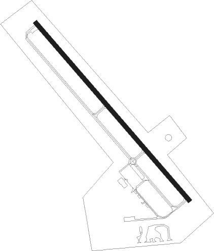
Benson - Benson Muni
Airport details
| Country | United States of America |
| State | Minnesota |
| Region | K3 |
| Airspace | Minneapolis Ctr |
| Municipality | Swift County |
| Elevation | 1039ft (317m) |
| Timezone | GMT -6 |
| Coordinates | 45.33192, -95.65058 |
| Magnetic var | |
| Type | land |
| Available since | X-Plane v10.40 |
| ICAO code | KBBB |
| IATA code | BBB |
| FAA code | BBB |
Communication
| Benson Muni CTAF/UNICOM | 122.800 |
Nearby Points of Interest:
Church of St. Francis Xavier
-Christ Episcopal Church
-Church of St. Bridget-Catholic
-Sabin S. Murdock House
-Monson Lake State Park CCC/WPA/Rustic Style Historic Resources
-Gethsemane Episcopal Church
-Appleton City Hall
-Little Falls and Dakota Depot
-Urjans Iverson House
-Morris Industrial School for Indians
-Lac qui Parle Mission
-Fremad Association Building
-Glenwood Public Library
-Pope County Courthouse
-Alberta Teachers House
-Chicago, Milwaukee and St. Paul Depot
-Camp Release State Monument
-Northern Pacific Depot
-Christopher Borgerding House
Nearby beacons
| code | identifier | dist | bearing | frequency |
|---|---|---|---|---|
| MOX | MORRIS VOR/DME | 19.4 | 306° | 109.60 |
| MVE | MONTEVIDEO VOR/DME | 21.7 | 190° | 111.60 |
| BDH | WILLMAR VOR/DME | 25.6 | 112° | 113.70 |
| AXN | ALEXANDRIA VOR/DME | 41.5 | 34° | 112.80 |
| GB | GARNO (MARSHALL) NDB | 51 | 197° | 253 |
| MML | MARSHALL VOR/DME | 53.5 | 191° | 111 |
| FF | HAMRE (FERGUS FALLS) NDB | 55.9 | 335° | 337 |
| RWF | REDWOOD FALLS VOR/DME | 56.4 | 149° | 113.30 |
| FFM | FERGUS FALLS VOR/DME | 61.2 | 332° | 110.40 |
Instrument approach procedures
| runway | airway (heading) | route (dist, bearing) |
|---|---|---|
| RW14 | DAWSO (62°) | DAWSO JELDI (28mi, 38°) 4000ft DOSCA (5mi, 62°) 2700ft |
| RW14 | DOSCA (134°) | DOSCA 2700ft |
| RW14 | ULJAB (228°) | ULJAB HODUL (24mi, 250°) 3600ft DOSCA (5mi, 242°) 2700ft |
| RNAV | DOSCA 2700ft CUKUP (6mi, 133°) 2700ft KBBB (5mi, 134°) 1079ft FETUD (11mi, 134°) 2700ft FETUD (turn) | |
| RW32 | ARDUE (9°) | ARDUE HAXUL (7mi, 52°) 2700ft FETUD (5mi, 62°) 2700ft |
| RW32 | ARMUW (256°) | ARMUW GOREC (15mi, 223°) 2900ft FETUD (5mi, 243°) 2700ft |
| RW32 | CLAPS (310°) | CLAPS FETUD (10mi, 306°) 2700ft |
| RW32 | FETUD (314°) | FETUD 2700ft |
| RNAV | FETUD 2700ft CUCAT (6mi, 314°) 2600ft KBBB (5mi, 314°) 1080ft DOSCA (11mi, 314°) 2700ft DOSCA (turn) |
Disclaimer
The information on this website is not for real aviation. Use this data with the X-Plane flight simulator only! Data taken with kind consent from X-Plane 12 source code and data files. Content is subject to change without notice.