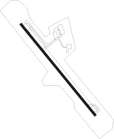
Branson Rgnl
Airport details
| Country | United States of America |
| State | Missouri |
| Region | K3 |
| Airspace | Memphis Ctr |
| Municipality | Taney County |
| Elevation | 1303ft (397m) |
| Timezone | GMT -6 |
| Coordinates | 36.53208, -93.20055 |
| Magnetic var | |
| Type | land |
| Available since | X-Plane v10.40 |
| ICAO code | KBBG |
| IATA code | n/a |
| FAA code | n/a |
Communication
| Branson Rgnl awos | 124.625 |
| Branson Rgnl clearance | 126.350 |
| Branson Rgnl ground | 118.400 |
| Branson Rgnl tower | 128.150 |
| Branson Rgnl approach | 126.350 |
Approach frequencies
| ILS-cat-I | RW32 | 111.35 | 18.00mi |
| 3° GS | RW32 | 111.35 | 18.00mi |
Nearby Points of Interest:
Cricket and Crest Tunnels
-Haggard Ford Swinging Bridge
-W.D. Crawford House
-Yell Masonic Lodge Hall
-Harrison Courthouse Square Historic District
-Boone County Courthouse
-Evans-Kirby House
-Grubb Springs School
-Harrison High School
-Elliott and Anna Barham House
-Berryville Post Office
-Carroll County Courthouse, Eastern District
-Berryville Gymnasium
-Berryville Agriculture Building
-Stone County Courthouse
-Dog Branch School
-Stamps Store
-Pyatt School Building
-Concord School House
-Everton School
-Eros School Building
-Harp Creek Bridge
-Sanitarium Lake Bridges Historic District
-Parker-Hickman Farm Historic District
-Beaver Bridge (Arkansas)
Nearby beacons
| code | identifier | dist | bearing | frequency |
|---|---|---|---|---|
| HRO | HARRISON VOR/DME | 12.8 | 183° | 112.50 |
| DGD | DOGWOOD VORTAC | 33.3 | 33° | 109.40 |
| FLP | DME | 38.4 | 107° | 116.05 |
| RZC | RAZORBACK (FAYETTEVILLE) VORTAC | 47.7 | 253° | 116.40 |
| SGF | SPRINGFIELD VORTAC | 49.8 | 351° | 116.90 |
Instrument approach procedures
| runway | airway (heading) | route (dist, bearing) |
|---|---|---|
| RW14 | WUTIB (139°) | WUTIB 4000ft |
| RNAV | WUTIB 4000ft VUCUG (8mi, 139°) 3000ft KBBG (6mi, 139°) 1306ft UYULA (12mi, 139°) 4000ft UYULA (turn) | |
| RW32 | CADAN (319°) | CADAN UYULA (5mi, 319°) 4000ft |
| RW32 | DGD (213°) | DGD AFPAM (37mi, 189°) 4000ft UYULA (5mi, 241°) 4000ft |
| RW32 | HRO (3°) | HRO BABVE (3mi, 88°) 4000ft UYULA (5mi, 61°) 4000ft |
| RW32 | UYULA (319°) | UYULA 4000ft |
| RNAV | UYULA 4000ft DILME (6mi, 319°) 3000ft ASUKE (3mi, 319°) 1940ft KBBG (2mi, 319°) 1352ft WUTIB (14mi, 319°) 4000ft WUTIB (turn) |
Disclaimer
The information on this website is not for real aviation. Use this data with the X-Plane flight simulator only! Data taken with kind consent from X-Plane 12 source code and data files. Content is subject to change without notice.