Brownfield - Terry County
Airport details
| Country | United States of America |
| State | Texas |
| Region | K4 |
| Airspace | Ft Worth Ctr |
| Municipality | Terry County |
| Elevation | 3264ft (995m) |
| Timezone | GMT -6 |
| Coordinates | 33.17314, -102.19292 |
| Magnetic var | |
| Type | land |
| Available since | X-Plane v10.40 |
| ICAO code | KBFE |
| IATA code | n/a |
| FAA code | BFE |
Communication
| Terry County CTAF/UNICOM | 122.800 |
| Terry County LUBBOCK Approach/Departure | 119.900 |
Nearby Points of Interest:
Tubbs-Carlisle House
-William Curry and Olive Price Holden House
-Texas Technological College Dairy Barn
-Texas Technological College Historic District
-Warren and Myrta Bacon House
-Carlock Building
-Lubbock Post Office and Federal Building
-Kress Building (Lubbock, Texas)
-Lamesa Farm Workers Community Historic District

Nearby beacons
| code | identifier | dist | bearing | frequency |
|---|---|---|---|---|
| LBB | LUBBOCK VORTAC | 34.8 | 28° | 109.20 |
| LD | LUBBI (LUBBOCK) NDB | 37.6 | 44° | 272 |
| PVW | PLAINVIEW VOR/DME | 58.4 | 24° | 112.90 |
| BGS | BIG SPRING VORTAC | 59.3 | 138° | 117.20 |
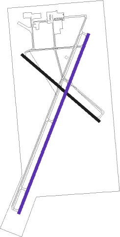
Instrument approach procedures
| runway | airway (heading) | route (dist, bearing) |
|---|---|---|
| RW02 | WOGFE (30°) | WOGFE 5000ft |
| RNAV | WOGFE 5000ft FATYO (6mi, 30°) 4900ft SLOBS (3mi, 30°) 4060ft KBFE (3mi, 30°) 3296ft (6017mi, 108°) 3589ft LEBDE (6011mi, 288°) 5200ft LEBDE (turn) | |
| RW20 | LEBDE (210°) | LEBDE 5200ft |
| RNAV | LEBDE 5200ft ZAGDO (6mi, 210°) 4900ft SWEAR (2mi, 210°) 4260ft KBFE (3mi, 210°) 3306ft (6017mi, 108°) 3598ft WOGFE (6023mi, 288°) 5200ft WOGFE (turn) |
Disclaimer
The information on this website is not for real aviation. Use this data with the X-Plane flight simulator only! Data taken with kind consent from X-Plane 12 source code and data files. Content is subject to change without notice.