Blackstone - Blackstone Aaf
Airport details
| Country | United States of America |
| State | Virginia |
| Region | K6 |
| Airspace | Washington Ctr |
| Municipality | Nottoway County |
| Elevation | 437ft (133m) |
| Timezone | GMT -5 |
| Coordinates | 37.07477, -77.95660 |
| Magnetic var | |
| Type | land |
| Available since | X-Plane v10.40 |
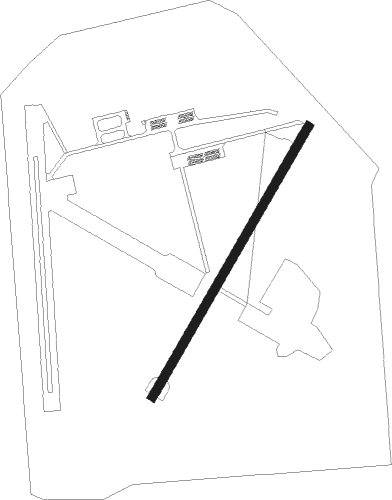
| ICAO code | KBKT |
| IATA code | BKT |
| FAA code | BKT |
Communication
| Blackstone AAF CTAF/UNICOM | 122.950 |
| Blackstone AAF Tower | 126.200 |
Nearby Points of Interest:
Blackstone Historic District
-Gordonsville Historic District
-Oakridge (Blackstone, Virginia)
-Nottoway County Courthouse
-Millbrook (Crewe, Virginia)
-Montrose (McKenney, Virginia)
-Mountain Hall
-Spring Bank (Lunenburg Courthouse, Virginia)
-Bechelbronn
-Hyde Park (Burkeville, Virginia)
-Barrett-Chumney House
-Zehmer Farm
-Flat Rock (Kenbridge, Virginia)
-Inverness (Burkeville, Virginia)
-Jones Farm (Kenbridge, Virginia)
-Brickland
-Hobson's Choice (Alberta, Virginia)
-Stony Creek Plantation
-St. Paul's School
-Burke's Tavern
-Farmer House (Deatonville, Virginia)
-Twin Lakes State Park
-Burnt Quarter
-Fifth Avenue Historic District (Kenbridge, Virginia)
-Five Forks Battlefield
Nearby beacons
| code | identifier | dist | bearing | frequency |
|---|---|---|---|---|
| BKT | BLACKSTONE NDB | 5.2 | 301° | 326 |
| LVL | LAWRENCEVILLE VORTAC | 15.6 | 168° | 112.90 |
| FAK | FLAT ROCK VORTAC | 27.9 | 16° | 113.30 |
| RIC | RICHMOND VORTAC | 39.7 | 56° | 114.10 |
| HPW | HOPEWELL VORTAC | 43 | 73° | 112 |
| AKQ | WAKEFIELD NDB | 46.1 | 95° | 274 |
| FKN | FRANKLIN VORTAC | 50.2 | 111° | 110.60 |
| HXO | HUNTSBORO (OXFORD) NDB | 56.3 | 221° | 271 |
| GVE | GORDONSVILLE VORTAC | 57.1 | 348° | 115.60 |
Departure and arrival routes
| Transition altitude | 18000ft |
| Transition level | 18000ft |
| SID end points | distance | outbound heading | |
|---|---|---|---|
| RW04 | |||
| BKT1 | 12mi | 270° | |
| RW22 | |||
| BKT1 | 12mi | 270° | |
Instrument approach procedures
| runway | airway (heading) | route (dist, bearing) |
|---|---|---|
| RW04 | YAKLU (40°) | YAKLU 3000ft |
| RNAV | YAKLU 3000ft WOVUP (7mi, 41°) 2200ft KBKT (6mi, 39°) 460ft (4830mi, 115°) 717ft YAGNU (4824mi, 296°) 3000ft YAGNU (turn) | |
| RW22 | YAGNU (222°) | YAGNU 3000ft |
| RNAV | YAGNU 3000ft WONEL (7mi, 221°) 2200ft ZATOR (3mi, 221°) 1340ft KBKT (3mi, 224°) 497ft (4830mi, 115°) 742ft YAKLU (4835mi, 295°) 3000ft YAKLU (turn) |
Disclaimer
The information on this website is not for real aviation. Use this data with the X-Plane flight simulator only! Data taken with kind consent from X-Plane 12 source code and data files. Content is subject to change without notice.