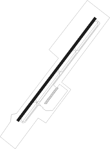
Bluefield - Mercer Co
Airport details
| Country | United States of America |
| State | West Virginia |
| Region | K6 |
| Airspace | Indianapolis Ctr |
| Municipality | Mercer County |
| Elevation | 2854ft (870m) |
| Timezone | GMT -5 |
| Coordinates | 37.29595, -81.20752 |
| Magnetic var | |
| Type | land |
| Available since | X-Plane v10.40 |
| ICAO code | KBLF |
| IATA code | BLF |
| FAA code | BLF |
Communication
| Mercer Co ASOS | 132.725 |
| Mercer Co CTAF | 122.900 |
Approach frequencies
| ILS-cat-I | RW23 | 109.5 | 18.00mi |
| 3° GS | RW23 | 109.5 | 18.00mi |
Nearby Points of Interest:
Municipal Building
-Easley House
-Walter McDonald Sanders House
-Bramwell Historic District
-Bramwell Additions Historic District
-Alexander St. Clair House
-Pocahontas Historic District
-Dr. Robert B. McNutt House
-Dr. James W. Hale House
-Pocahontas Exhibition Coal Mine
-Mercer Street Historic District
-Pocahontas Fuel Company Store
-James Ellwood Jones House
-Capt. James Moore Homestead
-Ashland Company Store
-Pocahontas Fuel Company Store and Office Buildings
-John J. Lincoln House
-Page Coal and Coke Company Store
-Algoma Coal and Coke Company Store
-Junius Marcellus Updyke Farm
-Empire Coal Company Store
-Peerless Coal Company Store
-World War Memorial
-Houston Coal Company Store
-U.S. Coal and Coke Company Store
Nearby beacons
| code | identifier | dist | bearing | frequency |
|---|---|---|---|---|
| BLF | BLUEFIELD VOR/DME | 0.8 | 52° | 110 |
| PSK | PULASKI (DUBLIN) VORTAC | 26.7 | 113° | 116.80 |
| BKW | BECKLEY VOR/DME | 29.3 | 10° | 117.70 |
| TEC | TECH (BLACKSBURG) NDB | 38.7 | 96° | 368 |
| RNL | RAINELLE VOR | 45 | 31° | 116.60 |
| LW | BUSHI (LEWISBURG) NDB | 45.7 | 57° | 346 |
| GZG | GLADE SPRING (BLACKFORD) VOR/DME | 50.4 | 242° | 110.20 |
| LWB | DME | 51.6 | 55° | 116.05 |
| JUH | ASHEE (JEFFERSON) NDB | 52 | 188° | 410 |
| JJC | MOUNTAIN CITY NDB | 60.5 | 215° | 396 |
| HMV | HOLSTON MOUNTAIN VORTAC | 67.9 | 227° | 114.60 |
Departure and arrival routes
| Transition altitude | 18000ft |
| Transition level | 18000ft |
| SID end points | distance | outbound heading | |
|---|---|---|---|
| RW05 | |||
| OBERS4 | 12mi | 73° | |
| RW23 | |||
| OBERS4 | 12mi | 73° | |
Instrument approach procedures
| runway | airway (heading) | route (dist, bearing) |
|---|---|---|
| RW05 | KENYA (95°) | KENYA OTONE (7mi, 135°) 6000ft |
| RW05 | TELOC (62°) | TELOC OTONE (6mi, 30°) 6000ft |
| RNAV | OTONE 6000ft WABIS (3mi, 87°) 5500ft VOCUG (3mi, 87°) 4700ft JUNAR (2mi, 62°) 3940ft JOSOM (3mi, 62°) 3053ft (4986mi, 115°) 3257ft KENYA (5002mi, 295°) 6000ft KENYA (turn) | |
| RW23 | DROWE (228°) | DROWE 5600ft |
| RW23 | FOMOP (253°) | FOMOP 7000ft DROWE (6mi, 306°) 5600ft |
| RW23 | HENAB (199°) | HENAB 7000ft DROWE (6mi, 126°) 5600ft |
| RNAV | DROWE 5600ft COLES (6mi, 228°) 4600ft KBLF (6mi, 228°) 2914ft YATUB (3mi, 228°) KENYA (15mi, 282°) 6000ft KENYA (turn) |
Disclaimer
The information on this website is not for real aviation. Use this data with the X-Plane flight simulator only! Data taken with kind consent from X-Plane 12 source code and data files. Content is subject to change without notice.