Beaumont - Beaumont Muni
Airport details
| Country | United States of America |
| State | Texas |
| Region | K4 |
| Airspace | Houston Oceanic Ctr |
| Municipality | Beaumont |
| Elevation | 32ft (10m) |
| Timezone | GMT -6 |
| Coordinates | 30.07021, -94.21510 |
| Magnetic var | |
| Type | land |
| Available since | X-Plane v10.40 |
| ICAO code | KBMT |
| IATA code | BMT |
| FAA code | BMT |
Communication
| Beaumont Muni AWOS | 118.425 |
| Beaumont Muni CTAF/Unicom | 123.000 |
| Beaumont Muni Houston App/Dep | 121.300 |
| Beaumont Muni Clearance Del | 121.750 |
Nearby Points of Interest:
Woman's Club of Beaumont Clubhouse
-Jack Brooks Federal Building
-Saint Anthony Cathedral Basilica
-Idle Hours
-Edson Hotel
-Beaumont Commercial District
-Spindletop
-Kirby-Hill House
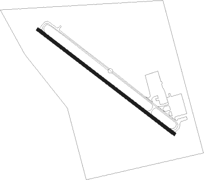
Runway info
| Runway 13 / 31 | ||
| length | 1214m (3983ft) | |
| bearing | 128° / 308° | |
| width | 23m (75ft) | |
| surface | asphalt | |
| displ threshold | 101m (331ft) / 21m (69ft) | |
Nearby beacons
| code | identifier | dist | bearing | frequency |
|---|---|---|---|---|
| GDE | GOODHUE (BEAUMONT) NDB | 0.2 | 86° | 368 |
| BPT | BEAUMONT VOR/DME | 12.7 | 122° | 114.50 |
| DAS | DAISETTA VORTAC | 23.4 | 286° | 116.90 |
| SBI | SABINE PASS VOR/DME | 24.8 | 155° | 115.40 |
| AUR | SULFY (SULPHUR) NDB | 41.9 | 81° | 278 |
| MHF | TRINITY (SMITH POINT) VOR/DME | 41.9 | 225° | 113.60 |
| BVP | NIXIN (HOUSTON) NDB | 52.1 | 266° | 326 |
| EFD | ELLINGTON (HOUSTON) TACAN | 56.5 | 244° | 109.40 |
| VUH | SCHOLES (GALVESTON) VOR/DME | 58.9 | 219° | 113 |
| DXB | DE RIDDER NDB | 61.2 | 52° | 385 |
Instrument approach procedures
| runway | airway (heading) | route (dist, bearing) |
|---|---|---|
| RW13 | DAS (106°) | DAS FOHPU (15mi, 93°) 2000ft |
| RW13 | SILBE (221°) | SILBE NIFAD (9mi, 294°) 2000ft FOHPU (6mi, 225°) 2000ft |
| RNAV | FOHPU 2000ft DEBUQ (5mi, 128°) 1500ft KBMT (5mi, 128°) 69ft (5624mi, 108°) 600ft SILBE (5619mi, 288°) 2000ft SILBE (turn) | |
| RW31 | BPT (302°) | BPT CORNS (3mi, 275°) 1600ft |
| RNAV | CORNS 1600ft WURAL (6mi, 313°) 1500ft KBMT (4mi, 308°) 72ft (5624mi, 108°) 500ft KIELL (5624mi, 288°) 2000ft KIELL (turn) |
Disclaimer
The information on this website is not for real aviation. Use this data with the X-Plane flight simulator only! Data taken with kind consent from X-Plane 12 source code and data files. Content is subject to change without notice.