Burns - Burns Muni
Airport details
| Country | United States of America |
| State | Oregon |
| Region | K1 |
| Airspace | Salt Lake City Ctr |
| Municipality | Harney County |
| Elevation | 4145ft (1263m) |
| Timezone | GMT -8 |
| Coordinates | 43.58650, -118.95944 |
| Magnetic var | |
| Type | land |
| Available since | X-Plane v10.40 |
| ICAO code | KBNO |
| IATA code | BNO |
| FAA code | BNO |
Communication
| Burns Muni ASOS | 135.575 |
| Burns Muni CTAF/UNICOM | 122.800 |
Nearby Points of Interest:
Sod House Ranch
-Double-O Ranch Historic District
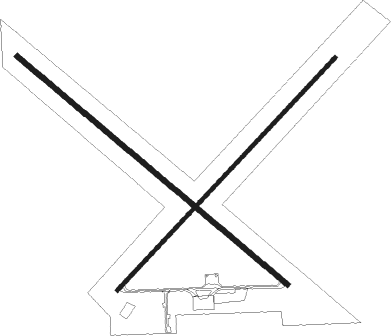
Runway info
Runway 12 / 30  | ||
| length | 1553m (5095ft) | |
| bearing | 126° / 306° | |
| width | 23m (75ft) | |
| surface | asphalt | |
| blast zone | 0m (0ft) / 40m (131ft) | |
| Runway 3 / 21 | ||
| length | 1400m (4593ft) | |
| bearing | 57° / 237° | |
| width | 18m (60ft) | |
| surface | concrete | |
| displ threshold | 183m (600ft) / 0m (0ft) | |
| blast zone | 10m (33ft) / 0m (0ft) | |
Nearby beacons
| code | identifier | dist | bearing | frequency |
|---|---|---|---|---|
| ILR | WILDHORSE (BURNS) VOR/DME | 0.4 | 34° | 114.55 |
Instrument approach procedures
| runway | airway (heading) | route (dist, bearing) |
|---|---|---|
| RW30 | GAYTE (269°) | GAYTE PONNI (11mi, 243°) 8000ft BELYA (5mi, 245°) 6000ft |
| RW30 | ILR (214°) | ILR BELYA (11mi, 133°) 6600ft BELYA (turn) 6000ft |
| RW30 | NIDIC (56°) | NIDIC ZOMOL (14mi, 94°) 7000ft BELYA (5mi, 65°) 6000ft |
| RNAV | BELYA 6000ft GISSE (6mi, 318°) 5800ft KBNO (5mi, 303°) 4189ft (6638mi, 110°) 4600ft BELYA (6634mi, 290°) 6000ft BELYA (turn) |
Disclaimer
The information on this website is not for real aviation. Use this data with the X-Plane flight simulator only! Data taken with kind consent from X-Plane 12 source code and data files. Content is subject to change without notice.