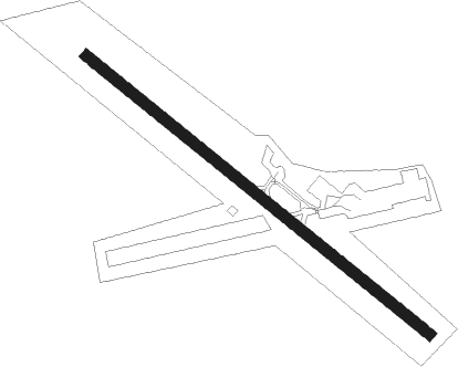
Belfast - Belfast Muni
Airport details
| Country | United States of America |
| State | Maine |
| Region | K6 |
| Airspace | Boston Ctr |
| Municipality | Belfast |
| Elevation | 198ft (60m) |
| Timezone | GMT -5 |
| Coordinates | 44.40939, -69.01183 |
| Magnetic var | |
| Type | land |
| Available since | X-Plane v10.30 |
| ICAO code | KBST |
| IATA code | n/a |
| FAA code | BST |
Communication
| Belfast Muni CTAF/UNICOM | 122.800 |
| Belfast Muni BANGOR Approach/Departure | 118.925 |
Nearby Points of Interest:
James P. White House
-Belfast Historic District
-Church Street Historic District
-First Church of Belfast
-Belfast Commercial Historic District
-Masonic Temple
-Black Horse Tavern
-James G. Pendleton House
-Searsport Historic District
-Carver Memorial Library
-Capt. John P. Nichols House
-East Main Street Historic District
-Capt. William McGilvery House
-Lincolnville Center Meeting House
-Stockton Springs Community Church
-John Perkins House
-Pentagoet Archeological District
-Cate House
-Bowdoin
-Whitney Farm
-Norumbega Castle
-High Street Historic District
-Camden Public Library
-Lewis R. French
-Mercantile
Runway info
| Runway 15 / 33 | ||
| length | 1218m (3996ft) | |
| bearing | 124° / 304° | |
| width | 30m (100ft) | |
| surface | asphalt | |
Nearby beacons
| code | identifier | dist | bearing | frequency |
|---|---|---|---|---|
| SUH | SPRUCEHEAD (OWLS HEAD) NDB | 21.9 | 195° | 356 |
| BUP | BURNHAM (PITTSFIELD) NDB | 22.8 | 310° | 348 |
| BGR | BANGOR VORTAC | 26.6 | 18° | 114.80 |
| AUG | AUGUSTA VOR/DME | 34.1 | 264° | 114.95 |
| AU | DUNNS (AUGUSTA) NDB | 36.4 | 270° | 366 |
Instrument approach procedures
| runway | airway (heading) | route (dist, bearing) |
|---|---|---|
| RW15 | ACYOG (124°) | ACYOG 3000ft |
| RW15 | WUTEG (161°) | WUTEG 3000ft ACYOG (8mi, 233°) 3000ft |
| RW15 | YATUT (97°) | YATUT 3000ft ACYOG (8mi, 53°) 3000ft |
| RNAV | ACYOG 3000ft DURIN (6mi, 124°) 2100ft NOCIY (3mi, 124°) 940ft KBST (3mi, 124°) 238ft (4515mi, 123°) 900ft ACYOG (4525mi, 303°) 3000ft ACYOG (turn) | |
| RW33 | IGEFY (278°) | IGEFY 3000ft NAXGE (8mi, 233°) 2500ft |
| RW33 | NAXGE (304°) | NAXGE 2500ft |
| RW33 | ZOTBO (342°) | ZOTBO 3000ft NAXGE (8mi, 53°) 2500ft |
| RNAV | NAXGE 2500ft USEZO (6mi, 304°) 2000ft PIBOI (3mi, 304°) 1080ft KBST (3mi, 304°) 199ft (4515mi, 123°) 660ft NAXGE (4504mi, 303°) 2500ft NAXGE (turn) |
Disclaimer
The information on this website is not for real aviation. Use this data with the X-Plane flight simulator only! Data taken with kind consent from X-Plane 12 source code and data files. Content is subject to change without notice.
