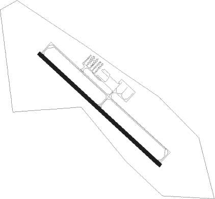
Blair - Blair Muni
Airport details
| Country | United States of America |
| State | Nebraska |
| Region | K3 |
| Airspace | Minneapolis Ctr |
| Municipality | Washington County |
| Elevation | 1316ft (401m) |
| Timezone | GMT -6 |
| Coordinates | 41.41481, -96.10897 |
| Magnetic var | |
| Type | land |
| Available since | X-Plane v10.40 |
| ICAO code | KBTA |
| IATA code | n/a |
| FAA code | BTA |
Communication
| Blair Muni Blair AWOS | 120.225 |
| Blair Muni Blair CTAF | 123.050 |
Nearby Points of Interest:
Ackerhurst Dairy Barn
-Military Road
-Washington County Courthouse
-Blair High School
-C.C. Crowell Jr. House
-General Crook House
-Henry B. Neef House
-Minne Lusa
-Boys Town
-Old People's Home
-Fort Omaha
-Country Club Historic District
-Dundee-Happy Hollow Historic District
-Lizzie Robinson House
-Calvin Memorial Presbyterian Church
-Dr. Samuel D. Mercer House
-Broomfield Rowhouse
-George H. Kelly House
-Edgar Zabriskie Residence
-Webster Telephone Exchange Building
-Omaha Star building
-Jewell Building
-Saddle Creek Underpass
-Joslyn Castle
-Melrose Apartments
Nearby beacons
| code | identifier | dist | bearing | frequency |
|---|---|---|---|---|
| OFF | OFFUTT (OMAHA) TACAN | 20.2 | 145° | 111.70 |
| OVR | OMAHA VORTAC | 22.4 | 124° | 116.30 |
| AHQ | WAHOO NDB | 24.4 | 250° | 400 |
| SCB | SCRIBNER VOR/DME | 26 | 290° | 111 |
| PMV | PLATTSMOUTH NDB | 29.6 | 157° | 329 |
| LNK | LINCOLN VORTAC | 41 | 232° | 116.10 |
| AFK | NEBRASKA CITY NDB | 49.8 | 163° | 347 |
| LN | POTTS (LINCOLN) NDB | 49.8 | 224° | 385 |
| SU | SALIX (SOUIX CITY) NDB | 55.4 | 349° | 414 |
| SUX | SIOUX CITY TACAN | 56.6 | 347° | 116.50 |
Instrument approach procedures
| runway | airway (heading) | route (dist, bearing) |
|---|---|---|
| RW13 | BIKPE (129°) | BIKPE 3100ft |
| RNAV | BIKPE 3100ft AFUGU (6mi, 129°) 2900ft IFODO (3mi, 129°) 2020ft KBTA (2mi, 129°) 1358ft (5680mi, 113°) 1568ft FALUK (5673mi, 293°) 4000ft FALUK (turn) | |
| RW31 | FALUK (309°) | FALUK 4000ft |
| RW31 | FELDA (276°) | FELDA FALUK (10mi, 235°) 4000ft |
| RW31 | WUNLI (356°) | WUNLI FALUK (10mi, 55°) 4000ft |
| RNAV | FALUK 4000ft EKABE (6mi, 309°) 3100ft JALKU (3mi, 309°) 2060ft KBTA (3mi, 309°) 1338ft (5680mi, 113°) 1564ft BIKPE (5687mi, 293°) 3100ft BIKPE (turn) |
Disclaimer
The information on this website is not for real aviation. Use this data with the X-Plane flight simulator only! Data taken with kind consent from X-Plane 12 source code and data files. Content is subject to change without notice.