Albion - Albion Muni
Airport details
| Country | United States of America |
| State | Nebraska |
| Region | K3 |
| Airspace | Minneapolis Ctr |
| Municipality | Boone County |
| Elevation | 1806ft (550m) |
| Timezone | GMT -6 |
| Coordinates | 41.72858, -98.05576 |
| Magnetic var | |
| Type | land |
| Available since | X-Plane v10.30 |
| ICAO code | KBVN |
| IATA code | n/a |
| FAA code | BVN |
Communication
| Albion Muni AWOS 3 | 118.575 |
| Albion Muni CTAF | 122.900 |
Nearby Points of Interest:
United States Post Office
-Petersburg Jail
-St. Anthony's Church and School
-Cedar Rapids City Hall and Library
-First Presbyterian Church
-Monroe Congregational Church and New Hope Cemetery
-Moses Merrill Baptist Camp
-Evangelical United Brethren Church
-Genoa Indian Industrial School
-Warrick House
-Church of the Visitation of the Blessed Virgin Mary
-A.T. Ranch Headquarters
-Greeley County Courthouse
-Kester Planing Mill
-Maybury–McPherson House
-St. Peter's Episcopal Church
-Gates College Gymnasium
-Former Wheeler County Courthouse
-Humphrey City Hall
-Elkhorn River Bridge
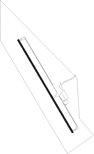
Runway info
| Runway 15 / 33 | ||
| length | 1128m (3701ft) | |
| bearing | 147° / 327° | |
| width | 18m (59ft) | |
| surface | concrete | |
Nearby beacons
| code | identifier | dist | bearing | frequency |
|---|---|---|---|---|
| OBH | WOLBACH VORTAC | 25 | 220° | 114.80 |
| OFK | NORFOLK VOR/DME | 31.8 | 67° | 109.60 |
| PLT | PLATTE CENTER (COLUMBUS) NDB | 33.3 | 109° | 407 |
| OLU | COLUMBUS VOR/DME | 36.2 | 111° | 111.80 |
| ODX | ORD NDB | 40.5 | 263° | 356 |
| GRI | GRAND ISLAND VOR/DME | 46.2 | 199° | 112 |
| ONL | O'NEILL VORTAC | 52.6 | 320° | 113.90 |
| GR | SANCY NDB | 52.7 | 197° | 380 |
| JYR | YORK NDB | 53.6 | 152° | 257 |
Instrument approach procedures
| runway | airway (heading) | route (dist, bearing) |
|---|---|---|
| RW15 | AMTAH (147°) | AMTAH 4300ft |
| RW15 | SOQZU (122°) | SOQZU 4300ft AMTAH (5mi, 70°) 4300ft |
| RW15 | VEJAL (177°) | VEJAL 4300ft AMTAH (5mi, 250°) 4300ft |
| RNAV | AMTAH 4300ft AYILO (6mi, 147°) 3400ft KBVN (5mi, 147°) 1846ft AMIVY (11mi, 147°) 4300ft AMIVY (turn) | |
| RW33 | AMIVY (327°) | AMIVY 4300ft |
| RW33 | SAFIL (302°) | SAFIL 4300ft AMIVY (5mi, 250°) 4300ft |
| RW33 | VAZRO (357°) | VAZRO 4300ft AMIVY (5mi, 70°) 4300ft |
| RNAV | AMIVY 4300ft JAYZU (6mi, 327°) 3400ft KBVN (5mi, 327°) 1818ft AMTAH (11mi, 327°) 4300ft AMTAH (turn) |
Disclaimer
The information on this website is not for real aviation. Use this data with the X-Plane flight simulator only! Data taken with kind consent from X-Plane 12 source code and data files. Content is subject to change without notice.