Bowman - Bowman Regional
Airport details
| Country | United States of America |
| State | North Dakota |
| Region | K3 |
| Airspace | Salt Lake City Ctr |
| Municipality | Bowman County |
| Elevation | 2963ft (903m) |
| Timezone | GMT -7 |
| Coordinates | 46.16552, -103.30075 |
| Magnetic var | |
| Type | land |
| Available since | X-Plane v11.20 |
| ICAO code | KBWW |
| IATA code | n/a |
| FAA code | BWW |
Communication
| Bowman Regional Bowman CTAF | 122.800 |
| Bowman Regional Bowman UNICOM | 122.800 |
| Bowman Regional Bowman AWOS | 118.075 |
Nearby Points of Interest:
Original Slope County Courthouse
-Peace Valley Evangelical Church and Cemetery
-Mystic Theatre
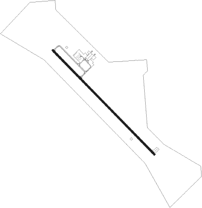
Runway info
| Runway 13 / 31 | ||
| length | 1738m (5702ft) | |
| bearing | 130° / 310° | |
| width | 23m (75ft) | |
| surface | concrete | |
Nearby beacons
| code | identifier | dist | bearing | frequency |
|---|---|---|---|---|
| BUA | DME | 37.4 | 194° | 109.40 |
| DIK | DICKINSON VORTAC | 47 | 37° | 112.90 |
Instrument approach procedures
| runway | airway (heading) | route (dist, bearing) |
|---|---|---|
| RW13 | HAGDA (130°) | HAGDA 5800ft |
| RNAV | HAGDA 5800ft FOBRA (8mi, 129°) 4600ft SEWAN (3mi, 130°) 3700ft KBWW (3mi, 130°) 2986ft (5956mi, 114°) 3400ft HAYNI (5937mi, 294°) 6000ft HAYNI (turn) | |
| RW31 | TROAK (310°) | TROAK 5800ft |
| RNAV | TROAK 5800ft BRANK (8mi, 310°) 4600ft CODAP (3mi, 310°) 3600ft KBWW (2mi, 310°) 3005ft (5956mi, 114°) 3500ft HAYNI (5937mi, 294°) 6000ft HAYNI (turn) |
Disclaimer
The information on this website is not for real aviation. Use this data with the X-Plane flight simulator only! Data taken with kind consent from X-Plane 12 source code and data files. Content is subject to change without notice.