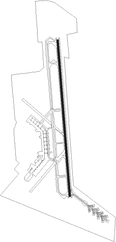
Blytheville - Arkansas Intl
Airport details
| Country | United States of America |
| State | Arkansas |
| Region | K4 |
| Airspace | Memphis Ctr |
| Municipality | Blytheville |
| Elevation | 250ft (76m) |
| Timezone | GMT -6 |
| Coordinates | 35.96433, -89.94395 |
| Magnetic var | |
| Type | land |
| Available since | X-Plane v10.40 |
| ICAO code | KBYH |
| IATA code | BYH |
| FAA code | BYH |
Communication
| Arkansas Intl CTAF/UNICOM | 122.700 |
| Arkansas Intl MEMPHIS CNTR | 134.650 |
Approach frequencies
| ILS-cat-I | RW18 | 110.3 | 18.00mi |
| 3° GS | RW18 | 110.3 | 18.00mi |
Nearby Points of Interest:
West Main Street Residential Historic District
-Blytheville Greyhound Bus Station
-Mississippi County Courthouse
-Kress Building
-Campbell Archeological Site
-Jonesboro, Lake City & Eastern Railroad Depot
-Herman Davis State Park
-Osceola Times Building
-Bank of Osceola
-City Hall
-Florida Brothers Building
-Mississippi County Jail
-Murphy Mound Archeological Site
-Ely and Walker Shirt Factory No. 5
-First National Bank Building
-Wilson Residential Historic District
-Craighead County Road 513C Bridge
-Lauderdale County Courthouse
-Wilson Community House
-Wilson Commercial Historic District
-George Ray's Dragstrip
-Wilson High School Gymnasium
-Scatterville Cemetery
-Greene County Courthouse
Nearby beacons
| code | identifier | dist | bearing | frequency |
|---|---|---|---|---|
| DYR | DYERSBURG VORTAC | 30.6 | 85° | 116.80 |
| JBR | JONESBORO VOR/DME | 31.8 | 262° | 108.60 |
| MAW | MALDEN VORTAC | 35.5 | 3° | 111.20 |
| GQE | GILMORE VOR/DME | 45.3 | 221° | 113 |
| TNZ | LAWRENCE COUNTY (WALNUT RIDGE) NDB | 49.7 | 284° | 227 |
| UC | OBION (UNION CITY) NDB | 50.1 | 71° | 212 |
| MKL | MERSY (JACKSON) NDB | 55.1 | 114° | 394 |
| MEM | MEMPHIS VORTAC | 57 | 182° | 117.50 |
Instrument approach procedures
| runway | airway (heading) | route (dist, bearing) |
|---|---|---|
| RW18 | CEDVA (180°) | CEDVA 2500ft |
| RNAV | CEDVA 2500ft GURLY (6mi, 180°) 2000ft HUFVE (4mi, 180°) 740ft KBYH (2mi, 180°) 304ft (5402mi, 112°) 450ft HABSI (5402mi, 292°) 2500ft HABSI (turn) | |
| RW36 | HABSI (0°) | HABSI 2500ft |
| RNAV | HABSI 2500ft GENRE (6mi, 0°) 2000ft TETOE (4mi, 0°) 740ft KBYH (2mi, 0°) 303ft (5402mi, 112°) 454ft CEDVA (5402mi, 292°) 2500ft CEDVA (turn) |
Disclaimer
The information on this website is not for real aviation. Use this data with the X-Plane flight simulator only! Data taken with kind consent from X-Plane 12 source code and data files. Content is subject to change without notice.