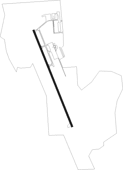
Cambridge - Cambridge Muni
Airport details
| Country | United States of America |
| State | Minnesota |
| Region | K3 |
| Airspace | Minneapolis Ctr |
| Municipality | Cambridge |
| Elevation | 942ft (287m) |
| Timezone | GMT -6 |
| Coordinates | 45.55750, -93.26418 |
| Magnetic var | |
| Type | land |
| Available since | X-Plane v10.40 |
| ICAO code | KCBG |
| IATA code | n/a |
| FAA code | CBG |
Communication
| Cambridge Muni AWOS 3 | 121.125 |
| Cambridge Muni CTAF/UNICOM | 122.800 |
Nearby Points of Interest:
Isanti County Courthouse
-St. John's Lutheran Church
-Svenska Mission Kyrka I Sodre Maple Ridge
-Cedar Creek Ecosystem Science Reserve
-Henry G. Leathers House
-Crescent Grange Hall No. 512
-Princeton station
-Sparre Barn
-Swedish Evangelical Lutheran Church
-Carlos Avery Game Farm
-Snake River Fur Post
-Kanabec County Courthouse
-Mille Lacs County Courthouse
-Milaca Municipal Hall
-District No. 28 School
-Oliver H. Kelley Homestead
-Center City Historic District
-Anoka Post Office
-Colonial Hall and Masonic Lodge No. 30
-Windego Park Auditorium/Open Air Theater
-Herbert M. Fox House
-Heman L. Ticknor House
-Moody Barn
-Anoka-Champlin Mississippi River Bridge
-Wild River State Park
Nearby beacons
| code | identifier | dist | bearing | frequency |
|---|---|---|---|---|
| PNM | PRINCETON NDB | 14.4 | 271° | 368 |
| ROS | RUSH CITY NDB | 15.4 | 66° | 282 |
| GEP | GOPHER (MINNEAPOLIS) VORTAC | 25.1 | 195° | 117.30 |
| ST | HUSSK (ST CLOUD) NDB | 30 | 264° | 342 |
| STC | SAINT CLOUD VOR/DME | 33.4 | 269° | 112.10 |
| MSP | MINNEAPOLIS VOR/DME | 39.7 | 178° | 115.30 |
| RZN | DME | 40.5 | 74° | 109.40 |
| BXR | BIG DOCTOR (SIREN) NDB | 40.8 | 74° | 203 |
| FCM | FLYING CLOUD (MINNEAPOLIS VOR/DME | 44.6 | 194° | 117.70 |
| FGT | FARMINGTON VORTAC | 55.7 | 175° | 115.70 |
| BR | LAREW (BRAINERD) NDB | 62.5 | 320° | 251 |
| RG | REGUE (RED WING) NDB | 63.2 | 147° | 274 |
Instrument approach procedures
| runway | airway (heading) | route (dist, bearing) |
|---|---|---|
| RW16 | CIVOL (148°) | CIVOL ZUBIS (4mi, 128°) 3000ft |
| RW16 | DOCKN (53°) | DOCKN ZUBIS (17mi, 9°) 3000ft ZUBIS (turn) 3000ft |
| RW16 | GOLLF (114°) | GOLLF ZUBIS (15mi, 92°) 3000ft |
| RW16 | LENCK (278°) | LENCK ZUBIS (25mi, 296°) 3000ft ZUBIS (turn) 3000ft |
| RNAV | ZUBIS 3000ft WERAM (6mi, 156°) 2600ft JINEM (3mi, 156°) 1520ft KCBG (2mi, 156°) 982ft (5542mi, 116°) 1320ft NODKE (5539mi, 296°) 3000ft NODKE (turn) | |
| RW34 | CINCI (293°) | CINCI NODKE (14mi, 268°) 3000ft |
| RW34 | DOCKN (53°) | DOCKN NODKE (10mi, 113°) 3000ft NODKE (turn) 3000ft |
| RW34 | GEP (15°) | GEP NODKE (16mi, 40°) 3000ft |
| RW34 | LENCK (278°) | LENCK NODKE (16mi, 249°) 3000ft NODKE (turn) 3000ft |
| RNAV | NODKE 3000ft RERBE (6mi, 336°) 2600ft OKPUE (3mi, 336°) 1520ft KCBG (2mi, 336°) 980ft (5542mi, 116°) 1320ft ZUBIS (5545mi, 296°) 3000ft ZUBIS (turn) |
Disclaimer
The information on this website is not for real aviation. Use this data with the X-Plane flight simulator only! Data taken with kind consent from X-Plane 12 source code and data files. Content is subject to change without notice.
