Camden - Harrell Field
Airport details
| Country | United States of America |
| State | Arkansas |
| Region | K4 |
| Airspace | Ft Worth Ctr |
| Municipality | Ouachita County |
| Elevation | 128ft (39m) |
| Timezone | GMT -6 |
| Coordinates | 33.62281, -92.76339 |
| Magnetic var | |
| Type | land |
| Available since | X-Plane v10.40 |
| ICAO code | KCDH |
| IATA code | CDH |
| FAA code | CDH |
Communication
| Harrell Field AWOS | 125.200 |
| Harrell Field CTAF/UNICOM | 122.700 |
Nearby Points of Interest:
Ben Laney Bridge
-Fort Lookout
-Oakland Cemetery
-Old Camden Post Office
-Tyson Family Commercial Building
-Missouri Pacific Railroad Depot-Camden
-Ouachita County Courthouse
-Sidney A. Umsted House
-Camden Expedition Sites National Historic Landmark
-Clifton and Greening Streets Historic District
-Benjamin T. Powell House
-Graham-Gaughan-Betts House
-Rumph House
-Elliott-Meek House
-Leake–Ingham Building
-Rowland B. Smith House
-Tate's Barn
-Oakland Farm
-Bragg House (Camden, Arkansas)
-Richmond-Tufts House
-Harvey's Grocery and Texaco Station
-Hickman House
-Bearden Waterworks
-Capt. John T. Burkett House
-Capt. Goodgame House
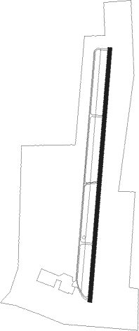
Runway info
| Runway 1 / 19 | ||
| length | 1984m (6509ft) | |
| bearing | 11° / 191° | |
| width | 30m (100ft) | |
| surface | asphalt | |
Nearby beacons
| code | identifier | dist | bearing | frequency |
|---|---|---|---|---|
| EL | LADOS (EL DORADO) NDB | 20.3 | 174° | 418 |
| ELD | EL DORADO VOR/DME | 22 | 177° | 115.50 |
| HPC | HOPE NDB | 44.7 | 276° | 362 |
| HO | HOSSY (HOT SPRINGS) NDB | 52.5 | 332° | 385 |
| FWV | TRUXNO (FARMERVILLE) NDB | 52.9 | 154° | 379 |
| HOT | HOT SPRINGS VOR/DME | 53.9 | 339° | 110 |
| PBF | PINE BLUFF VOR/DME | 56 | 53° | 116 |
| BQP | BASTROP NDB | 68.3 | 135° | 329 |
Instrument approach procedures
| runway | airway (heading) | route (dist, bearing) |
|---|---|---|
| RW01 | URAME (11°) | URAME 2700ft |
| RNAV | URAME 2700ft ARIPE (6mi, 11°) 1800ft JAVAB (3mi, 11°) 980ft KCDH (3mi, 11°) 168ft (5543mi, 110°) 421ft BUSGE (5541mi, 290°) 2700ft BUSGE (turn) | |
| RW19 | BUSGE (191°) | BUSGE 2700ft |
| RNAV | BUSGE 2700ft HULOD (6mi, 191°) 1800ft XICEL (3mi, 191°) 1000ft KCDH (3mi, 191°) 173ft (5543mi, 110°) 426ft URAME (5545mi, 290°) 2700ft URAME (turn) |
Disclaimer
The information on this website is not for real aviation. Use this data with the X-Plane flight simulator only! Data taken with kind consent from X-Plane 12 source code and data files. Content is subject to change without notice.