Crete - Crete Muni
Airport details
| Country | United States of America |
| State | Nebraska |
| Region | K3 |
| Airspace | Minneapolis Ctr |
| Municipality | Saline County |
| Elevation | 1499ft (457m) |
| Timezone | GMT -6 |
| Coordinates | 40.61838, -96.92570 |
| Magnetic var | |
| Type | land |
| Available since | X-Plane v10.40 |
| ICAO code | KCEK |
| IATA code | n/a |
| FAA code | CEK |
Communication
| Crete Muni CTAF/UNICOM | 122.800 |
| Crete Muni LINCOLN Approach/Departure | 124.000 |
Nearby Points of Interest:
Doane College Historic Buildings
-Frank J. Rademacher House
-Saline County Courthouse
-Sokol Pavilion
-Z.C.B.J. Rad Tabor No. 74
-William H. Charlton House
-Telocvicna Jednota Sokol
-Rad Saline Center cis. 389 Z.C.B.J.
-James D. Calhoun House
-South Bottoms Historic District
-Burckhardt House
-Frank M. Spalding House
-John H. and Christina Yost House
-R.O. Phillips House
-Nebraska Governor's Mansion
-Frank E. and Emma A. Gillen House
-William H. Ferguson House
-Terminal Building
-First National Bank Building
-Thomas P. Kennard House
-City Hall
-Aeneas Yates-Charles Hurlbut House
-Lincoln Liberty Life Insurance Building
-Scottish Rite Temple
-Federal Trust Building
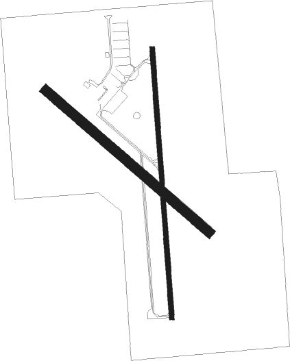
Runway info
Runway 17 / 35  | ||
| length | 1283m (4209ft) | |
| bearing | 180° / 0° | |
| width | 23m (75ft) | |
| surface | concrete | |
| Runway 13 / 31 | ||
| length | 1027m (3369ft) | |
| bearing | 128° / 308° | |
| width | 46m (151ft) | |
| surface | grass | |
Nearby beacons
| code | identifier | dist | bearing | frequency |
|---|---|---|---|---|
| LN | POTTS (LINCOLN) NDB | 10.7 | 52° | 385 |
| LNK | LINCOLN VORTAC | 20.1 | 31° | 116.10 |
| BIE | BEATRICE VOR | 20.5 | 152° | 110.60 |
| FBY | FAIRBURY NDB | 28.7 | 209° | 293 |
| FMZ | BEKLOF (FAIRMONT) NDB | 29.3 | 267° | 392 |
| JYR | YORK NDB | 35.6 | 292° | 257 |
| AHQ | WAHOO NDB | 40.1 | 28° | 400 |
| PWE | PAWNEE CITY VORTAC | 41.3 | 120° | 112.40 |
| OLU | COLUMBUS VOR/DME | 53.3 | 333° | 111.80 |
| PLT | PLATTE CENTER (COLUMBUS) NDB | 56.6 | 333° | 407 |
| SCB | SCRIBNER VOR/DME | 60.7 | 17° | 111 |
Instrument approach procedures
| runway | airway (heading) | route (dist, bearing) |
|---|---|---|
| RW17 | GAMBL (148°) | GAMBL FIRSO (10mi, 117°) 4000ft |
| RW17 | LNK (211°) | LNK FIRSO (11mi, 239°) 4000ft |
| RNAV | FIRSO 4000ft CARAX (7mi, 180°) 3100ft KCEK (5mi, 181°) 1539ft CIBAR (1mi, 178°) VACUS (7mi, 188°) 4000ft VACUS (turn) | |
| RW35 | BIE (332°) | BIE UPUFY (11mi, 307°) 4000ft |
| RW35 | KOPFY (15°) | KOPFY UPUFY (6mi, 43°) 4000ft |
| RW35 | LNK (211°) | LNK JUNIK (30mi, 189°) 4000ft UPUFY (5mi, 270°) 4000ft |
| RNAV | UPUFY 4000ft COTTU (6mi, 0°) 3100ft KCEK (5mi, 360°) 1524ft PIYIB (2mi, 2°) GAMBL (18mi, 324°) 4000ft GAMBL (turn) |
Disclaimer
The information on this website is not for real aviation. Use this data with the X-Plane flight simulator only! Data taken with kind consent from X-Plane 12 source code and data files. Content is subject to change without notice.