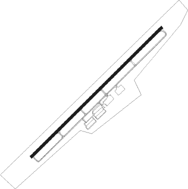
Murray - Kyle Oakley Field
Airport details
| Country | United States of America |
| State | Kentucky |
| Region | K5 |
| Airspace | Memphis Ctr |
| Municipality | Calloway County |
| Elevation | 577ft (176m) |
| Timezone | GMT -6 |
| Coordinates | 36.66459, -88.37278 |
| Magnetic var | |
| Type | land |
| Available since | X-Plane v10.40 |
| ICAO code | KCEY |
| IATA code | CEY |
| FAA code | CEY |
Communication
| Kyle Oakley Field AWOS 3 | 119.975 |
| Kyle Oakley Field CTAF/UNICOM | 122.700 |
Approach frequencies
| LOC | RW23 | 110.5 | 18.00mi |
Nearby Points of Interest:
Edwin S. Diuguid House
-First Christian Church
-Calloway County Courthouse
-First Baptist Church
-Wooldridge Monuments
-Pete Lyles House
-Aquone
-Thomas Lawson House
-West Paris Historic District
-Paris Commercial Historic District
-Oak Hill
-Porter House
-Mt. Zion Church and Cemetery
-W.W. Morris House
-Fort Donelson National Battlefield
-Kenmil Place
-Masonic Temple
-Jesse Whitesell House and Farm
-Paducah Freight House
-Lloyd Tilghman House
-David Yeiser House
-Confederate Monument in Paducah
-Cadiz Masonic Lodge No. 121 F. and A.M.
-Cadiz Downtown Historic District
-Masonic Hall-Federal Commissary Building
Nearby beacons
| code | identifier | dist | bearing | frequency |
|---|---|---|---|---|
| EU | MUREY (MURRAY) NDB | 5.2 | 56° | 368 |
| CNG | CUNNINGHAM (PADUCAH) VOR/DME | 30.4 | 307° | 113.10 |
| UC | OBION (UNION CITY) NDB | 37.2 | 239° | 212 |
| HXW | SCREAMING EAGLE TACAN | 41.5 | 90° | 114.90 |
| CKV | CLARKSVILLE VOR/DME | 46.3 | 93° | 110.60 |
| FK | AIRBE(FT CAMPBELL/HOPKINSVILLE NDB | 46.3 | 86° | 273 |
| CIR | CAIRO NDB | 47.2 | 295° | 397 |
| CK | SNUFF(FT CAMPBELL (CLARKSVILLE NDB | 48.2 | 98° | 335 |
| DYR | DYERSBURG VORTAC | 59.9 | 236° | 116.80 |
| GHM | (CENTERVILLE) DME | 66.9 | 132° | 111.60 |
Instrument approach procedures
| runway | airway (heading) | route (dist, bearing) |
|---|---|---|
| RW05 | EKACY (56°) | EKACY 3000ft |
| RNAV | EKACY 3000ft OXURE (7mi, 56°) 2200ft ZAKOP (3mi, 56°) 1180ft KCEY (2mi, 56°) 616ft (5327mi, 113°) 827ft GELME (5318mi, 293°) 3000ft GELME (turn) | |
| RW23 | GELME (236°) | GELME 3000ft |
| RNAV | GELME 3000ft AZCUF (7mi, 236°) 2100ft KCEY (5mi, 236°) 607ft (5327mi, 113°) 859ft EKACY (5336mi, 292°) 3000ft EKACY (turn) |
Disclaimer
The information on this website is not for real aviation. Use this data with the X-Plane flight simulator only! Data taken with kind consent from X-Plane 12 source code and data files. Content is subject to change without notice.