Caro - Tuscola Area
Airport details
| Country | United States of America |
| State | Michigan |
| Region | K5 |
| Airspace | Cleveland Ctr |
| Municipality | Indianfields Township |
| Elevation | 701ft (214m) |
| Timezone | GMT -5 |
| Coordinates | 43.45886, -83.44544 |
| Magnetic var | |
| Type | land |
| Available since | X-Plane v10.40 |
| ICAO code | KCFS |
| IATA code | TZC |
| FAA code | CFS |
Communication
| Tuscola Area AWOS 3 | 119.275 |
| Tuscola Area CTAF/UNICOM | 123.000 |
| Tuscola Area SAGINAW Approach/Departure | 120.950 |
Nearby Points of Interest:
Trinity Episcopal Church
-Tuscola County Courthouse
-Richard C. Burtis House
-Watrous General Store
-McKinley School
-Hotel Columbia
-Smith House
-Randall House
-First Presbyterian Church
-Indian Mission
-Gugel Bridge
-Alexander McClew Farm House
-Pioneer State Bank No. 36
-E. S. Swayze Drugstore
-Detroit–Bay City Railroad Company Columbiaville Depot
-Harry C. Tinker House
-State Street Bridge
-James Clements Municipal Airport
-Center Avenue Neighborhood Residential District
-Odd Fellows Valley Lodge No. 189 Building
-USS Edson
-Saginaw County Fairgrounds Main Gate
-Bay City Masonic Temple
-Bay City Station
-Bay City Downtown Historic District
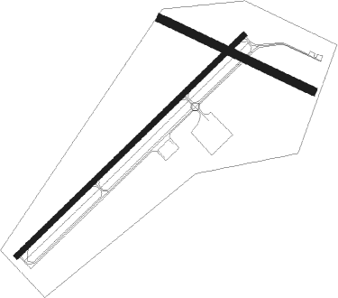
Runway info
Runway 6 / 24  | ||
| length | 1310m (4298ft) | |
| bearing | 59° / 239° | |
| width | 23m (75ft) | |
| surface | asphalt | |
| Runway 13 / 31 | ||
| length | 693m (2274ft) | |
| bearing | 113° / 293° | |
| width | 34m (110ft) | |
| surface | grass | |
| displ threshold | 0m (0ft) / 172m (564ft) | |
Nearby beacons
| code | identifier | dist | bearing | frequency |
|---|---|---|---|---|
| MBS | SAGINAW VOR/DME | 27.8 | 277° | 112.90 |
| MB | OLSTE (SAGINAW) NDB | 32 | 270° | 257 |
| FNT | FLINT VORTAC | 32.3 | 211° | 116.90 |
| ECK | PECK TACAN | 34 | 106° | 114 |
| PSI | DME | 45.6 | 187° | 111 |
| PH | PHURN (PORT HURON) NDB | 52.4 | 126° | 332 |
| MTC | SELFRIDGE (MOUNT CLEMENS) TACAN | 57.5 | 144° | 133.70 |
| ASP | SABLE (OSCODA) DME | 59.5 | 3° | 116.10 |
Instrument approach procedures
| runway | airway (heading) | route (dist, bearing) |
|---|---|---|
| RW06 | BIRRS (70°) | BIRRS HIPRA (6mi, 87°) 3100ft |
| RW06 | FNT (31°) | FNT HIPRA (23mi, 17°) 3100ft |
| RNAV | HIPRA 3100ft YOGUS (5mi, 59°) 2300ft VOWER (3mi, 59°) 1260ft KCFS (2mi, 59°) 725ft (5120mi, 118°) 1100ft BIRRS (5134mi, 297°) 3100ft BIRRS (turn) | |
| RW24 | MBS (97°) | MBS RAYOL (35mi, 88°) 3000ft RAYOL (turn) 2300ft |
| RW24 | WINTO (294°) | WINTO RAYOL (12mi, 351°) 2400ft RAYOL (turn) 2300ft |
| RNAV | RAYOL 2300ft KAYET (5mi, 239°) 2300ft LIYIG (2mi, 239°) 1560ft KCFS (3mi, 239°) 740ft (5120mi, 118°) 1104ft BIRRS (5134mi, 297°) 3100ft BIRRS (turn) |
Disclaimer
The information on this website is not for real aviation. Use this data with the X-Plane flight simulator only! Data taken with kind consent from X-Plane 12 source code and data files. Content is subject to change without notice.