Caledonia - Houston County
Airport details
| Country | United States of America |
| State | Minnesota |
| Region | K3 |
| Airspace | Minneapolis Ctr |
| Municipality | Houston County |
| Elevation | 1179ft (359m) |
| Timezone | GMT -6 |
| Coordinates | 43.59636, -91.50394 |
| Magnetic var | |
| Type | land |
| Available since | X-Plane v10.40 |
| ICAO code | KCHU |
| IATA code | n/a |
| FAA code | CHU |
Communication
| Houston County CTAF | 122.900 |
Nearby Points of Interest:
Houston County Courthouse and Jail
-Portland Prairie Methodist Episcopal Church
-Schech Mill
-Church of the Holy Comforter
-Highlandville School
-Fish Farm Mounds State Preserve
-Locust School
-La Crosse Armory
-Lenora Methodist Episcopal Church
-Mons Anderson House
-St. Rose of Viterbo Convent
-La Crosse Commercial Historic District
-Gideon C. Hixon House
-Kinney Octagon Barn
-LaCrosse State Teachers College Training School Building
-Our Lady of Sorrows Chapel
-Wittich Hall
-Burr Oak Savings Bank
-Burr Oak House/Masters Hotel
-23rd and 24th Streets Historic District
-Lansing Stone School
-G. Kerndt & Brothers Office Block
-Lansing Main Street Historic District
-G. Kerndt and Brothers Elevator and Warehouses, No. 11, No.12 and No. 13
-Lansing Fisheries Building
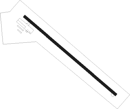
Runway info
| Runway 13 / 31 | ||
| length | 1066m (3497ft) | |
| bearing | 126° / 306° | |
| width | 23m (77ft) | |
| surface | asphalt | |
Nearby beacons
| code | identifier | dist | bearing | frequency |
|---|---|---|---|---|
| ODI | NODINE VORTAC | 19 | 7° | 117.90 |
| UKN | DME | 19 | 186° | 116.60 |
| LSE | CROSSE DME | 19.9 | 42° | 108.40 |
| LS | MINDI (LA CROSSE) NDB | 26.6 | 31° | 272 |
| CMY | MC COY NDB | 42.6 | 68° | 412 |
Disclaimer
The information on this website is not for real aviation. Use this data with the X-Plane flight simulator only! Data taken with kind consent from X-Plane 12 source code and data files. Content is subject to change without notice.